LFAC - Calais Dunkerque Airport MSFS
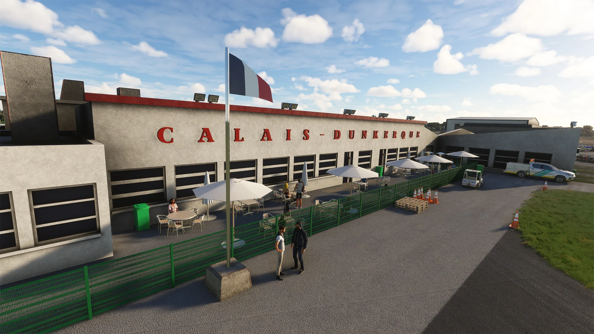
The Calais–Dunkerque airport (ICAO code: LFAC) is an airport located in Marck, 7 km (4 mi) east-northeast of Calais, in the Pas-de-Calais department in the Hauts-de-France region of France.
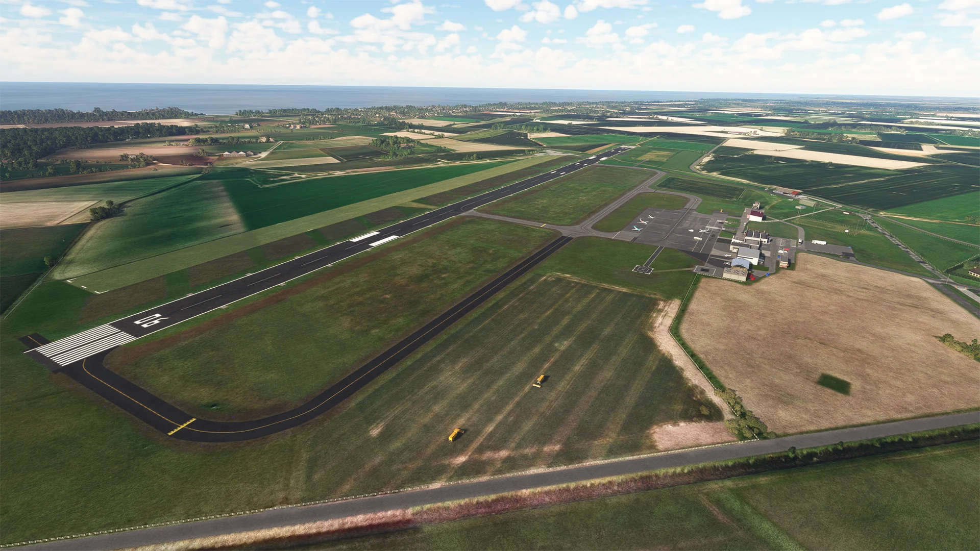
In the early 1950s, the airport hosted cross-Channel services, including car ferry services organized by private airlines such as Silver City Airways and Channel Air Bridge. The airport is 12 feet (4 m) above mean sea level. It has an asphalt runway, designated 06/24, measuring 1,535 x 45 meters (5,036 ft × 148 ft).
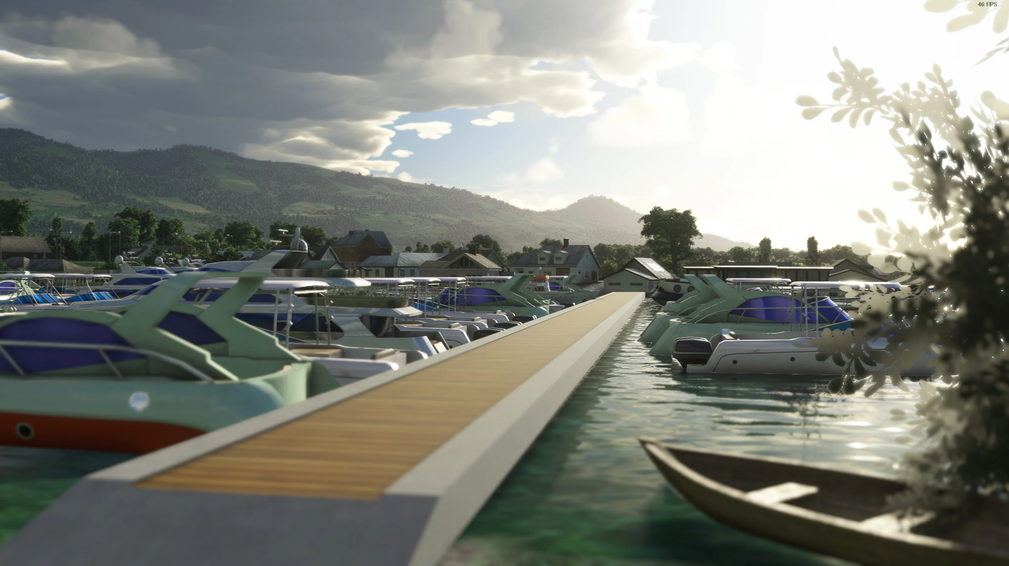
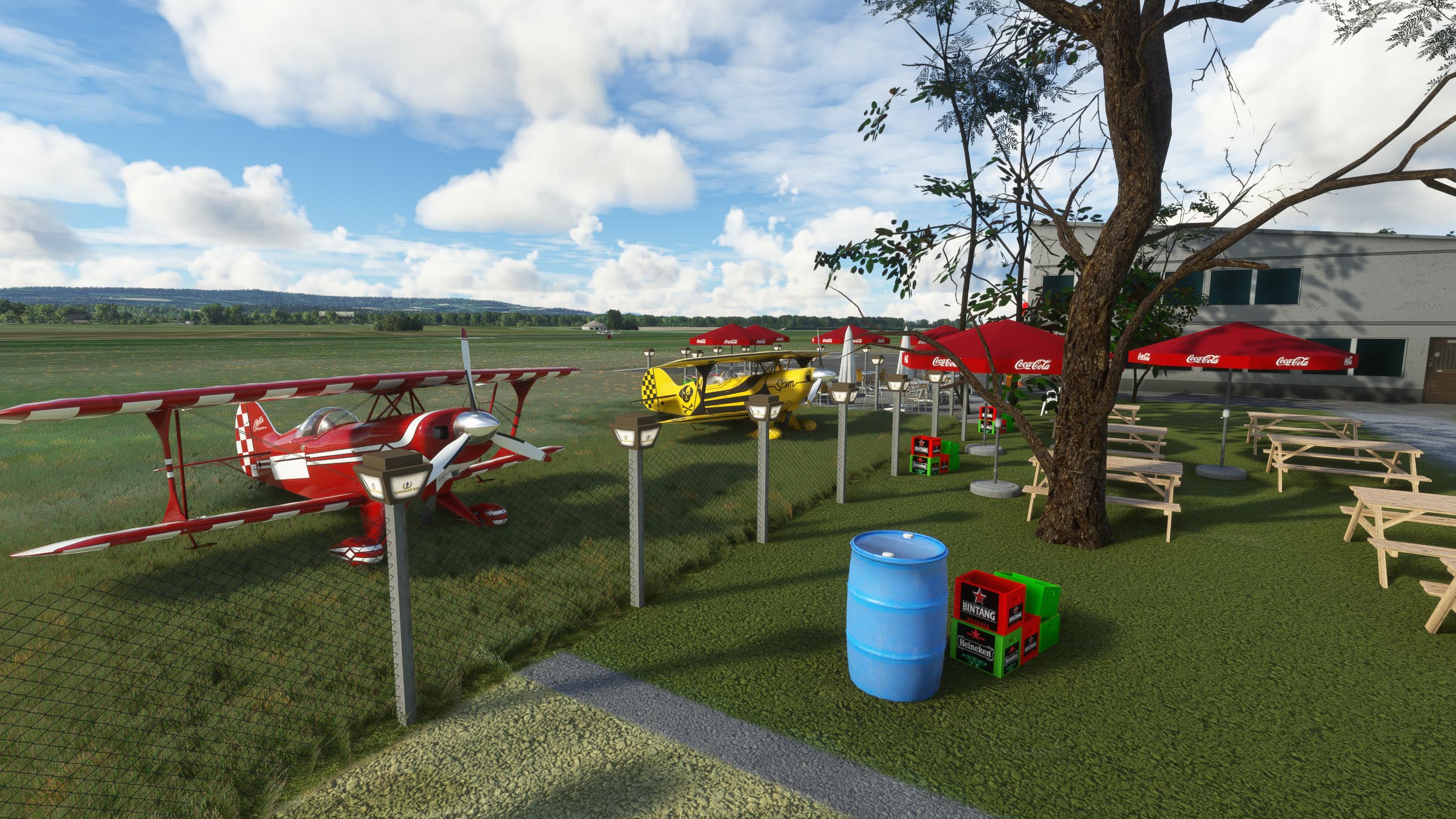
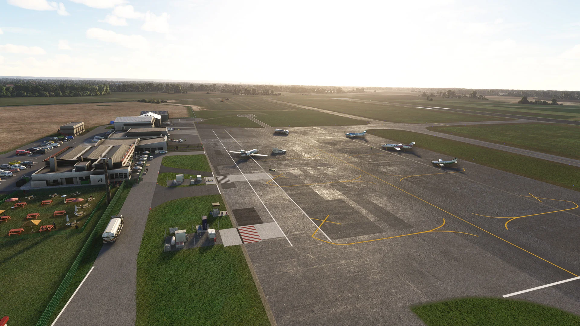
Calais-Dunkerque Airport is now often used for pilot training and occasionally hosts aviation events. Also, a lot of touristic charter airlines fly this airport regularly. With 9 parking lots and numerous hangars, this airport is located right at the south of the English Channel and is an important location for the region.
Airport has different names such as: Aérodrome du Grand Calais, Calais Dunkerque Airport, Aérodrome du Marck, Calais Marck Airport
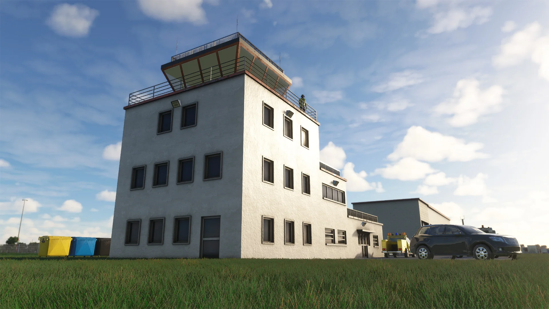
- 3D Buildings created with details
- 8K PBR textures
- Open Hangars with parking lots
- Vegetation and layout arrangement
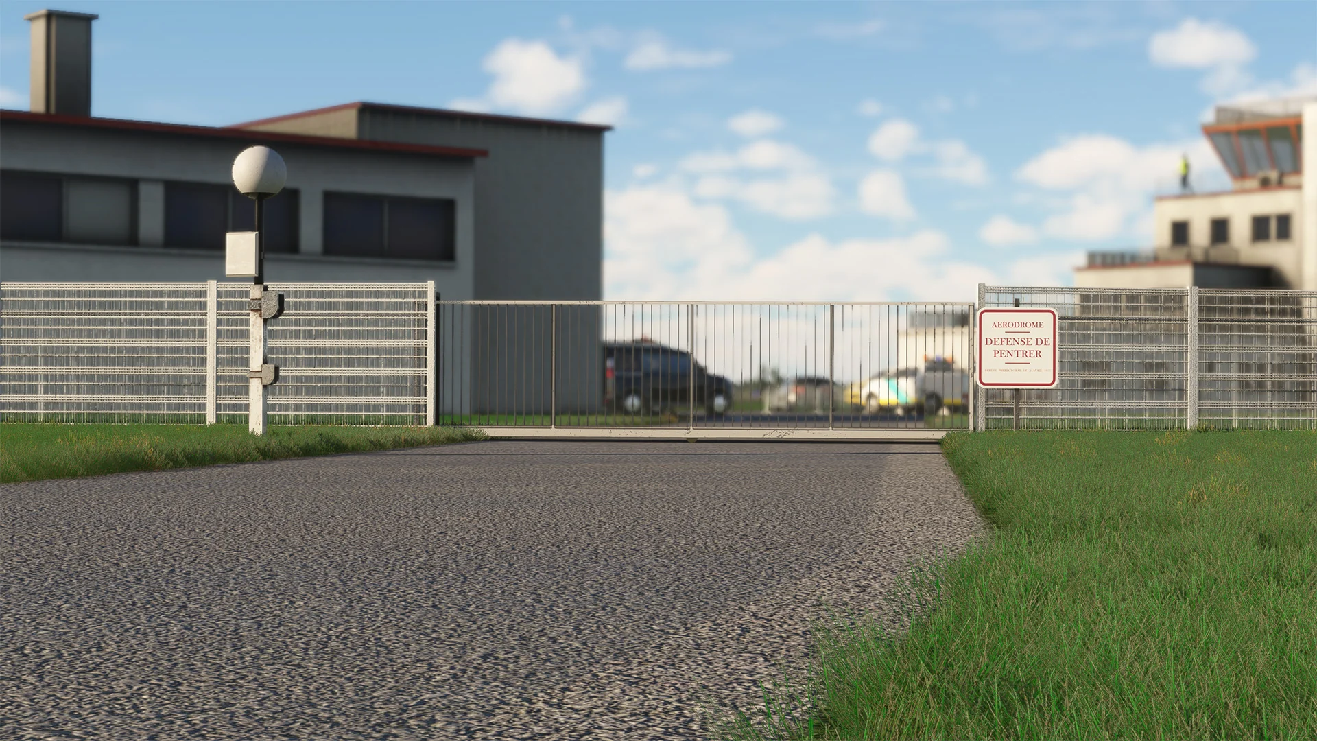
- Special details around the airport
- 3D people, living atmosphere
- Helipad
- Accurate Ground and Traffic Signs
Original: $13.04
-65%$13.04
$4.56More Images


LFAC - Calais Dunkerque Airport MSFS
The Calais–Dunkerque airport (ICAO code: LFAC) is an airport located in Marck, 7 km (4 mi) east-northeast of Calais, in the Pas-de-Calais department in the Hauts-de-France region of France.
In the early 1950s, the airport hosted cross-Channel services, including car ferry services organized by private airlines such as Silver City Airways and Channel Air Bridge. The airport is 12 feet (4 m) above mean sea level. It has an asphalt runway, designated 06/24, measuring 1,535 x 45 meters (5,036 ft × 148 ft).
Calais-Dunkerque Airport is now often used for pilot training and occasionally hosts aviation events. Also, a lot of touristic charter airlines fly this airport regularly. With 9 parking lots and numerous hangars, this airport is located right at the south of the English Channel and is an important location for the region.
Airport has different names such as: Aérodrome du Grand Calais, Calais Dunkerque Airport, Aérodrome du Marck, Calais Marck Airport
- 3D Buildings created with details
- 8K PBR textures
- Open Hangars with parking lots
- Vegetation and layout arrangement
- Special details around the airport
- 3D people, living atmosphere
- Helipad
- Accurate Ground and Traffic Signs
Product Information
Product Information
Shipping & Returns
Shipping & Returns
Description
The Calais–Dunkerque airport (ICAO code: LFAC) is an airport located in Marck, 7 km (4 mi) east-northeast of Calais, in the Pas-de-Calais department in the Hauts-de-France region of France.
In the early 1950s, the airport hosted cross-Channel services, including car ferry services organized by private airlines such as Silver City Airways and Channel Air Bridge. The airport is 12 feet (4 m) above mean sea level. It has an asphalt runway, designated 06/24, measuring 1,535 x 45 meters (5,036 ft × 148 ft).
Calais-Dunkerque Airport is now often used for pilot training and occasionally hosts aviation events. Also, a lot of touristic charter airlines fly this airport regularly. With 9 parking lots and numerous hangars, this airport is located right at the south of the English Channel and is an important location for the region.
Airport has different names such as: Aérodrome du Grand Calais, Calais Dunkerque Airport, Aérodrome du Marck, Calais Marck Airport
- 3D Buildings created with details
- 8K PBR textures
- Open Hangars with parking lots
- Vegetation and layout arrangement
- Special details around the airport
- 3D people, living atmosphere
- Helipad
- Accurate Ground and Traffic Signs