GCHI - El Hierro Airport MSFS20/24
The Most Realistic and Up-To Date Scenery of El Hierro for MSFS
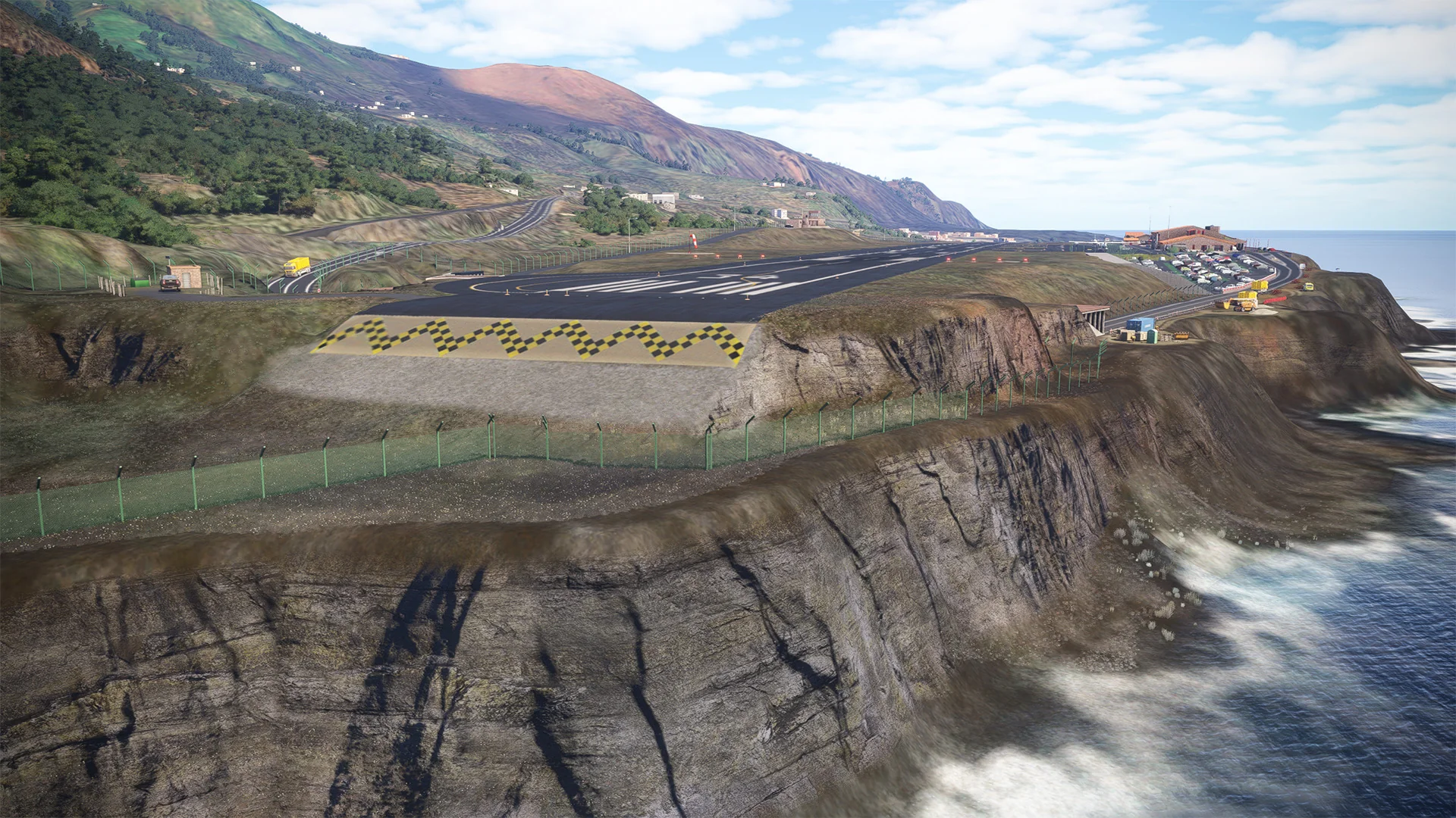
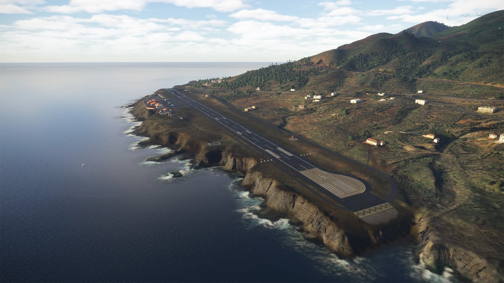
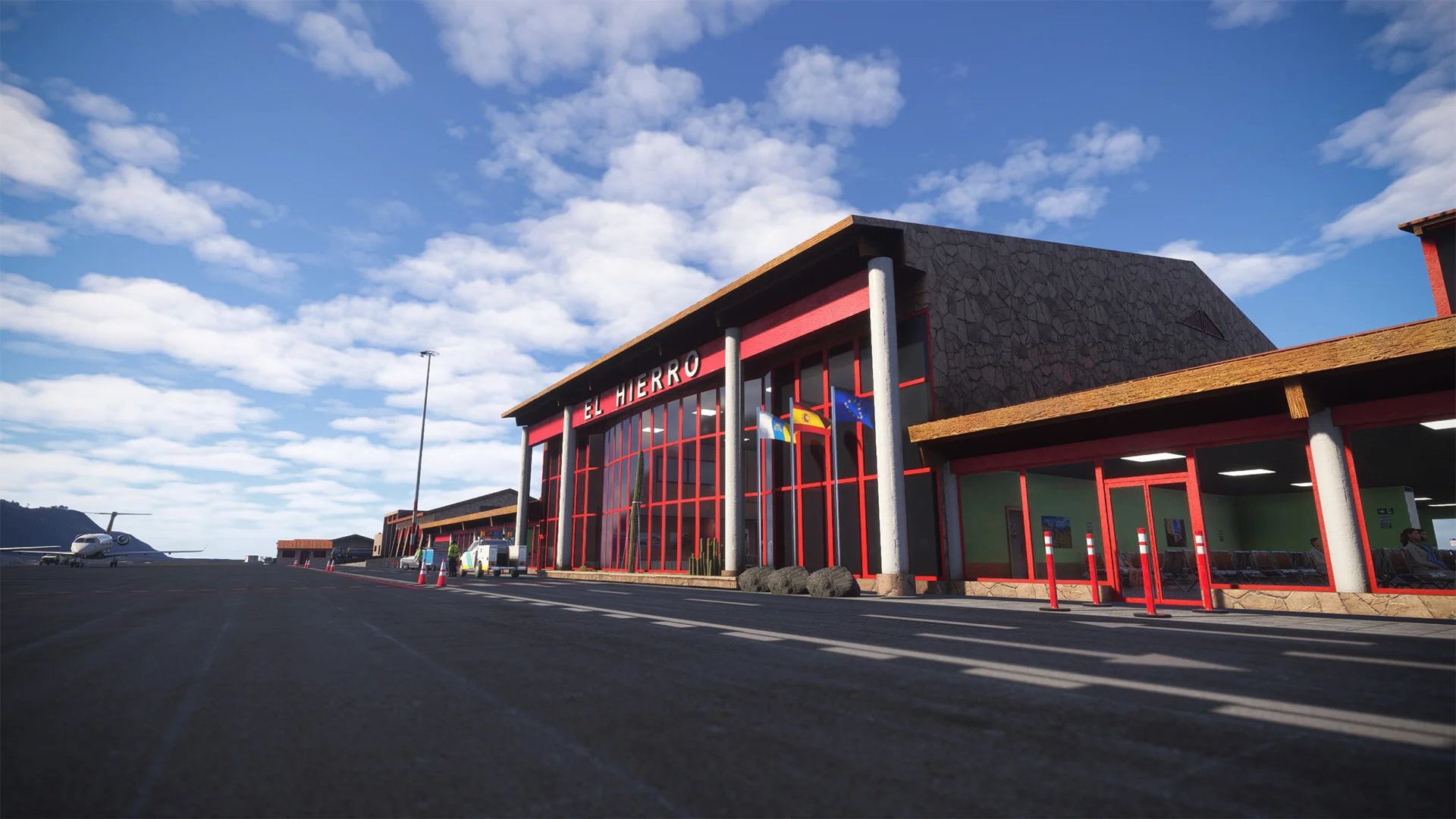
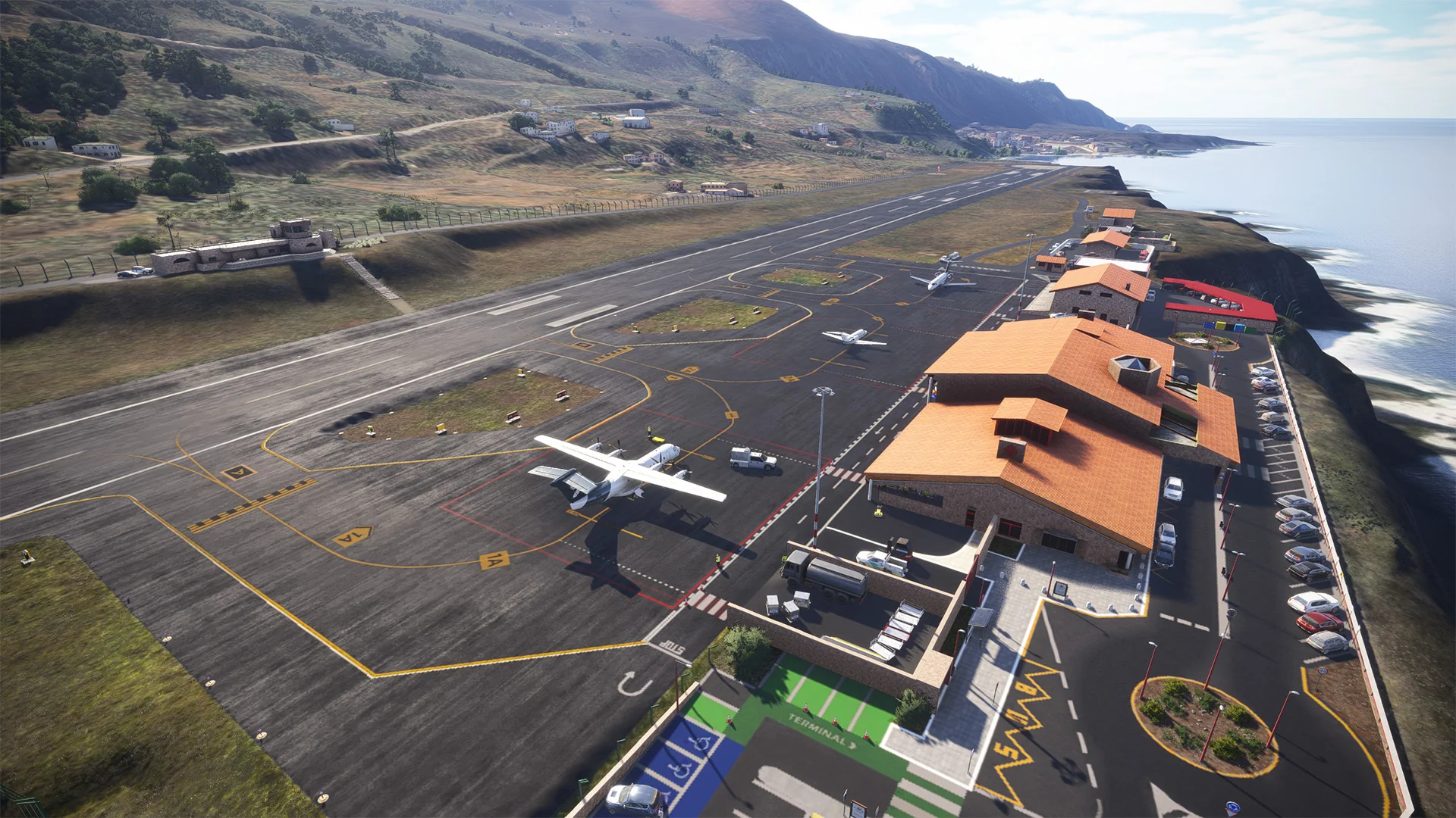
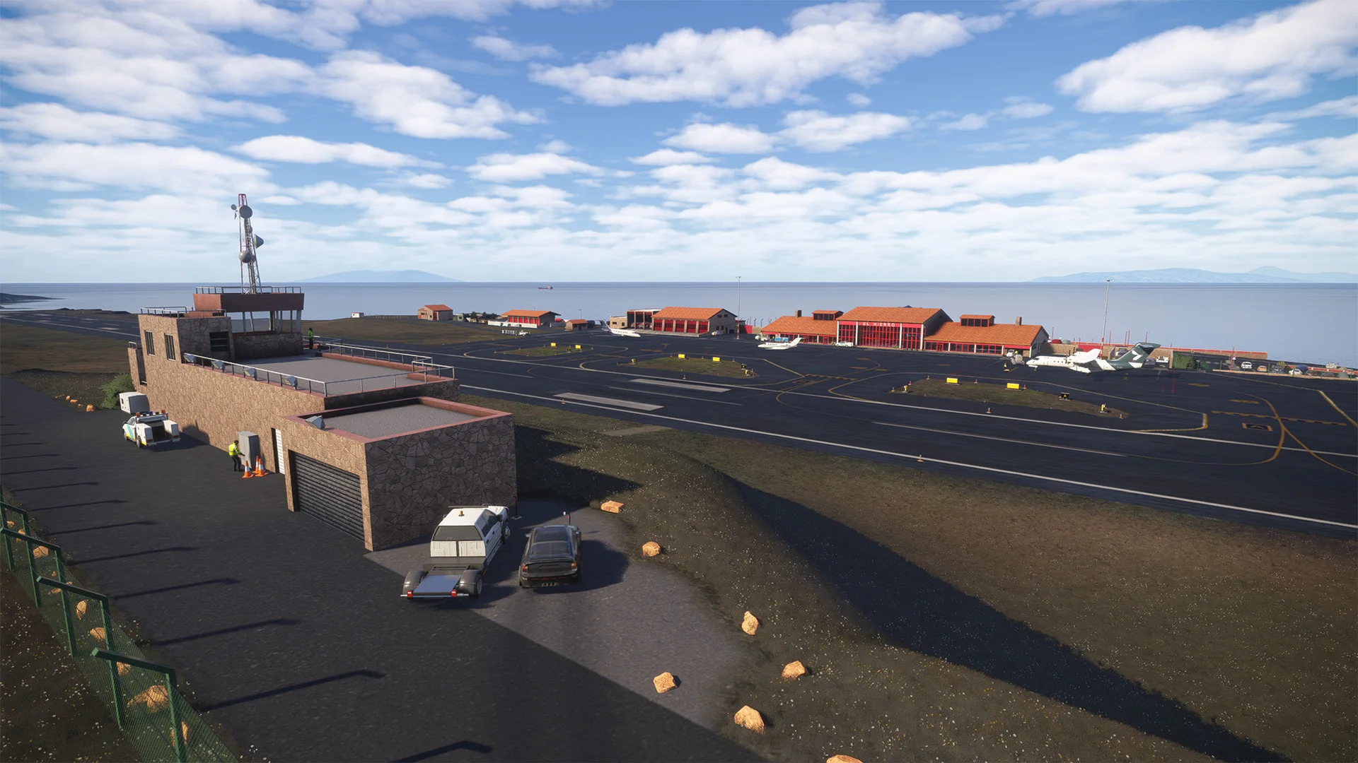
The El Hierro Airport (IATA code: VDE, ICAO code: GCHI) is a small regional airport located near Valverde, the capital of El Hierro Island, in the Canary Islands, Spain. It lies about 9 km (5.6 mi) northeast of the island’s main town and serves as the principal air gateway to this remote volcanic island in the Atlantic Ocean.
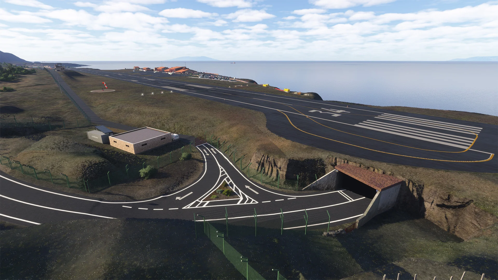
Surrounded by steep cliffs and exposed to strong Atlantic winds, El Hierro Airport presents a unique challenge for pilots, requiring precise approach and landing techniques. These conditions make the airport well known among aviators for its demanding yet scenic operations.
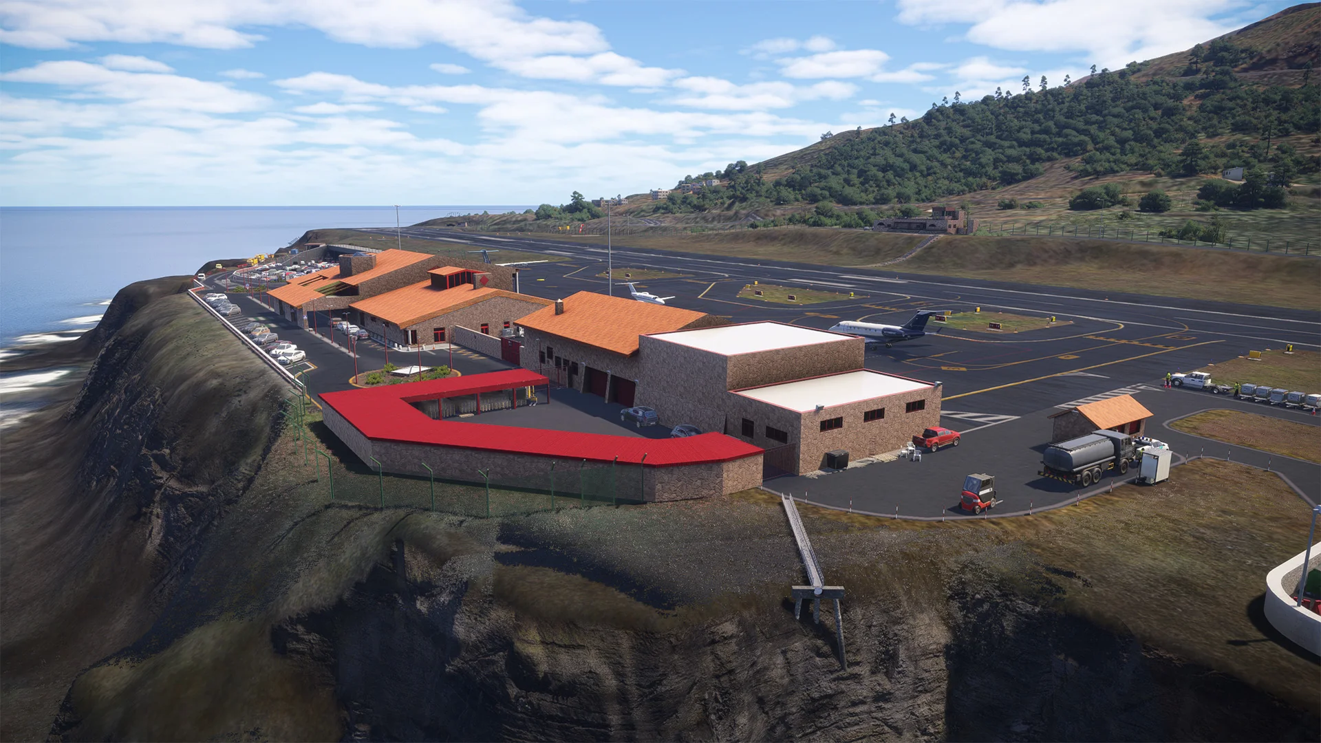
El Hierro Airport primarily handles domestic flights, most of which are operated by Binter Canarias, linking the island with Tenerife and Gran Canaria. It is also used for medical evacuation flights, pilot training, and occasional charter services. Known for its dramatic approach over the rugged coastline, the airport plays a vital role in the island’s economy and tourism, offering a lifeline connection to the smallest and least populated of the Canary Islands.
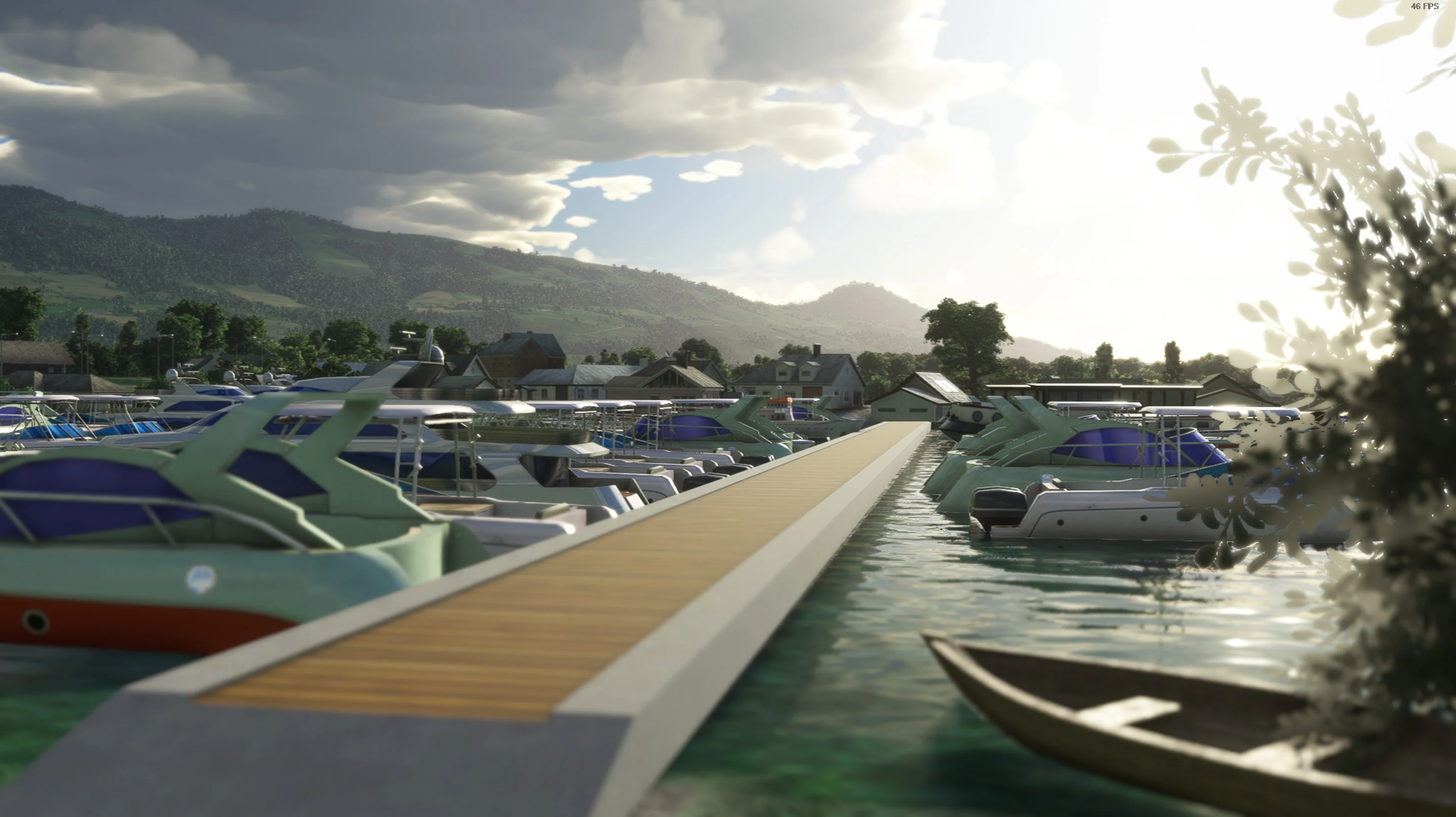
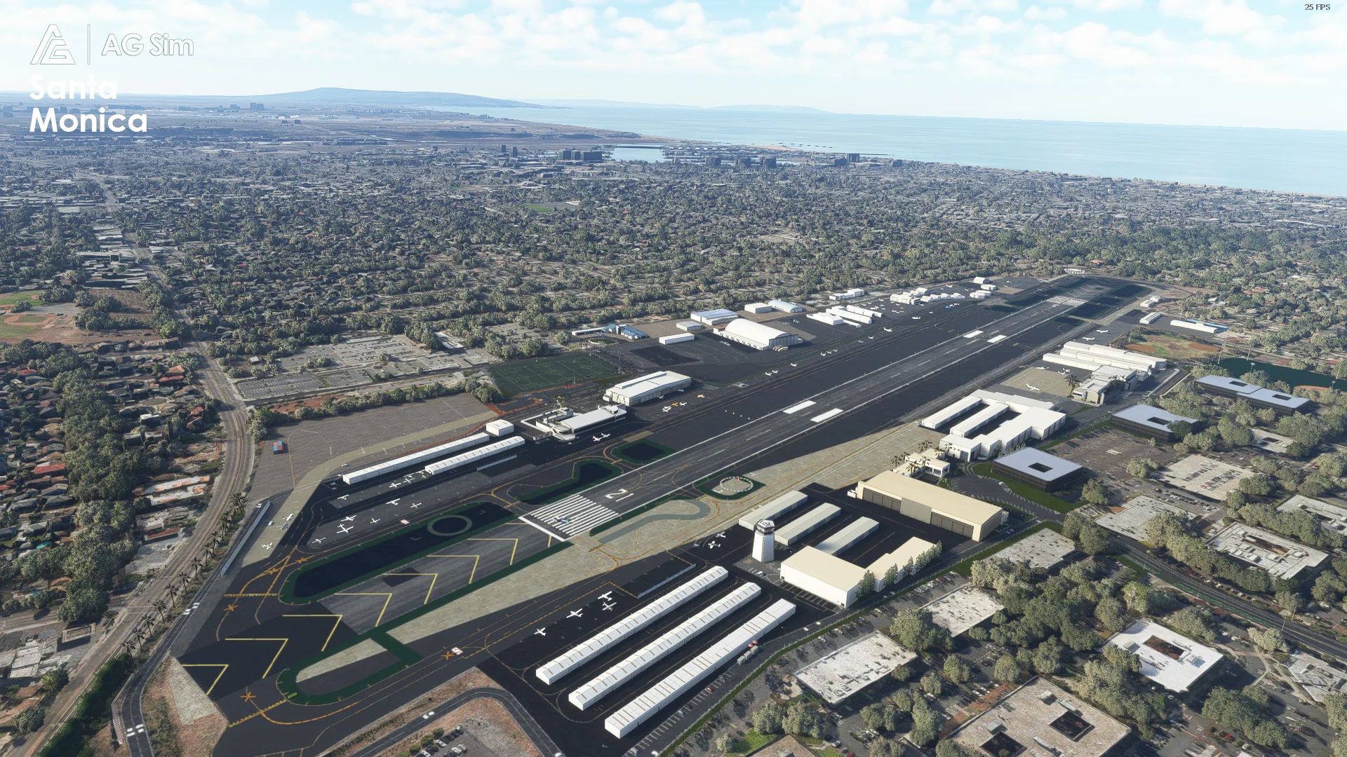
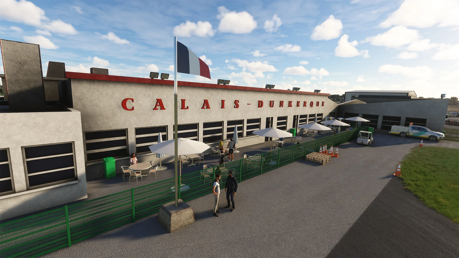
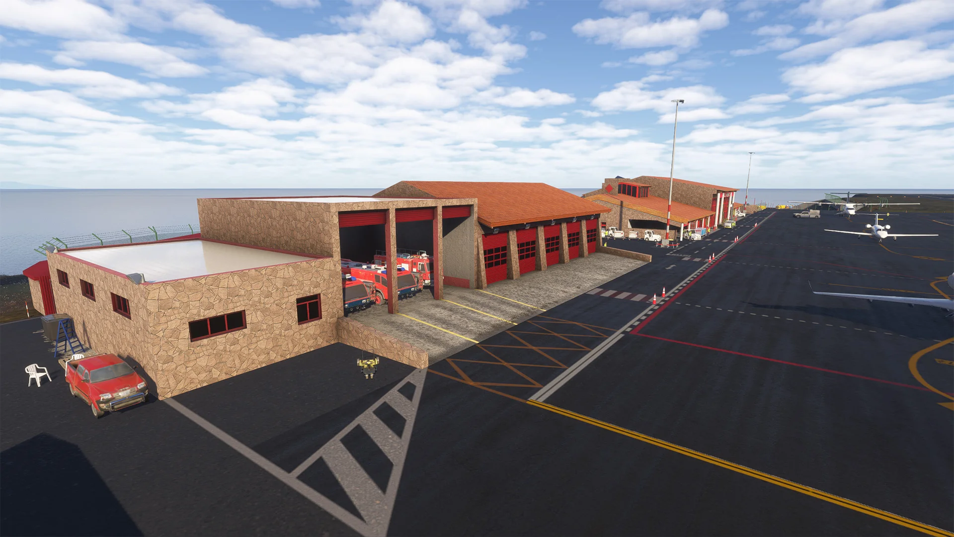
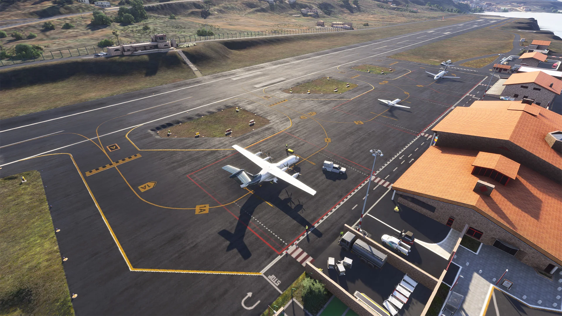
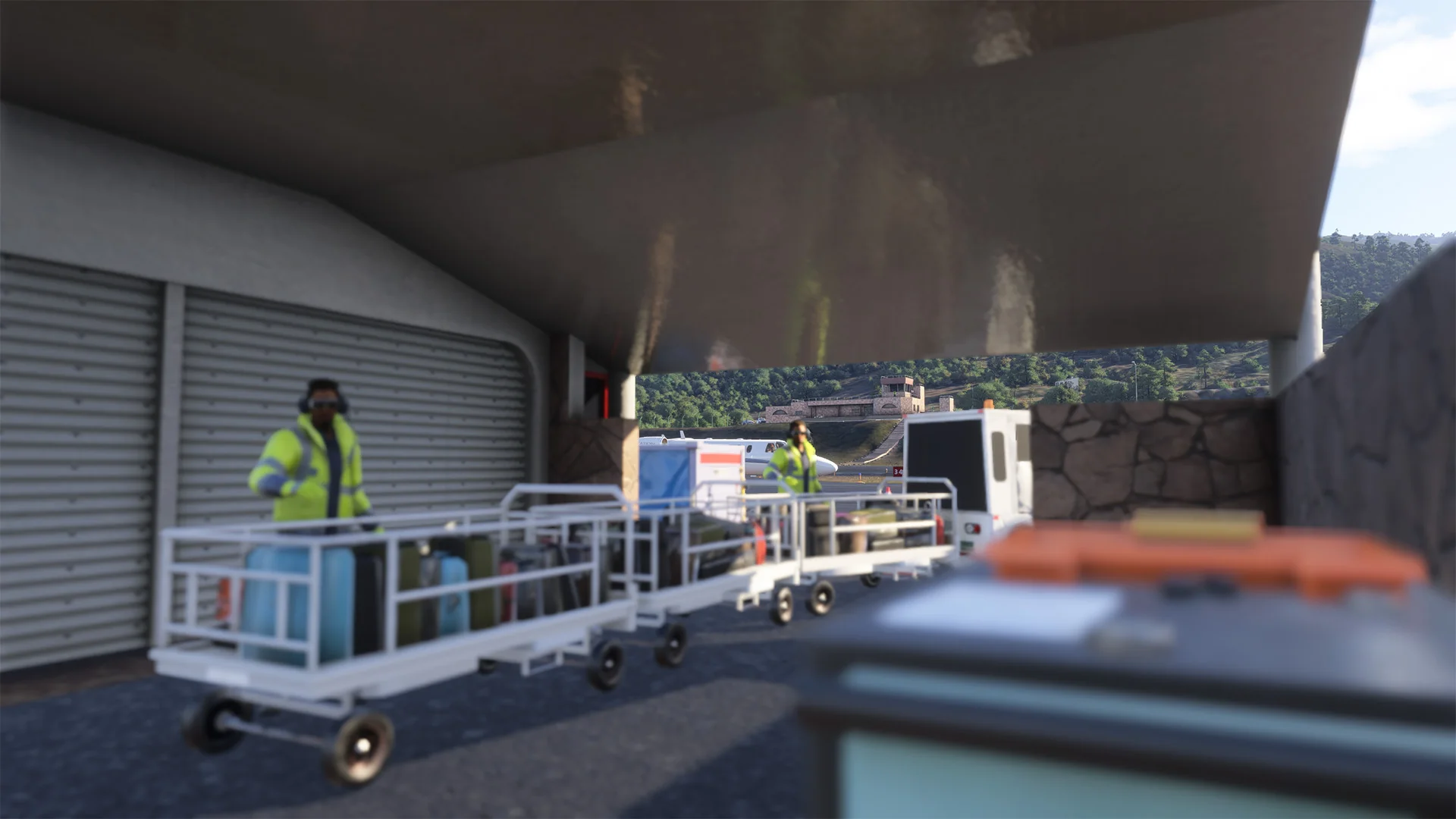
- 3D Buildings created with details
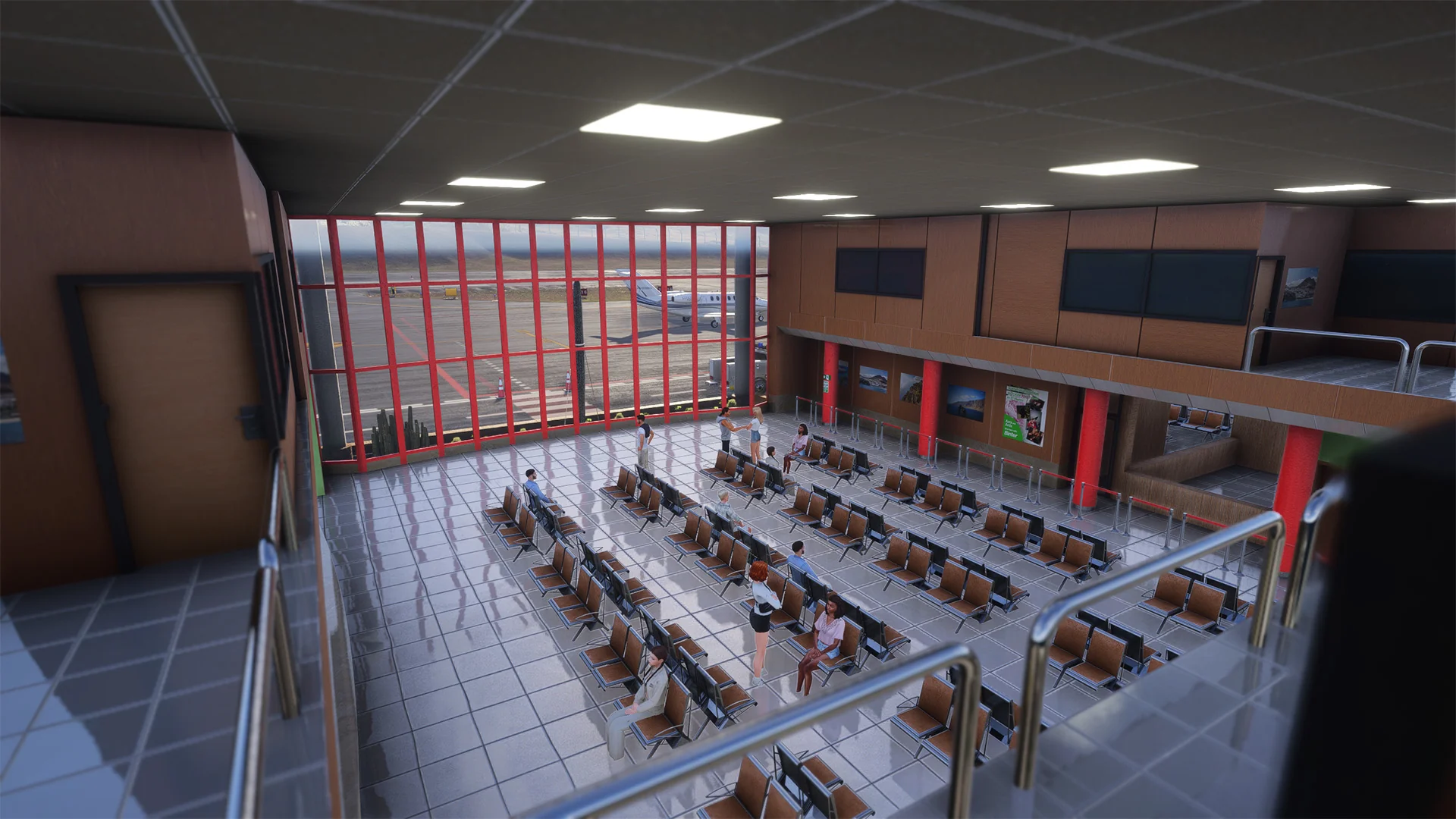
- Terminal interior
- 8K PBR textures
- 2025 layout
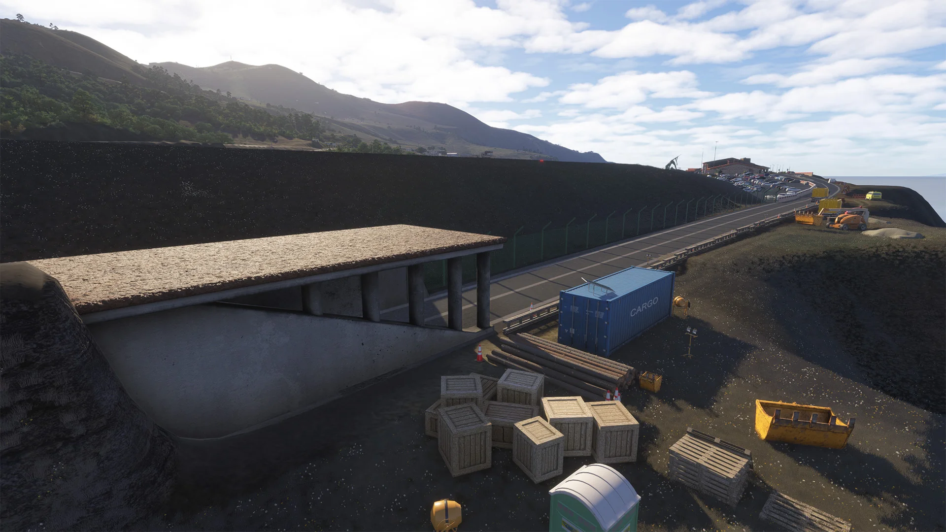
- Precise terraforming and slope
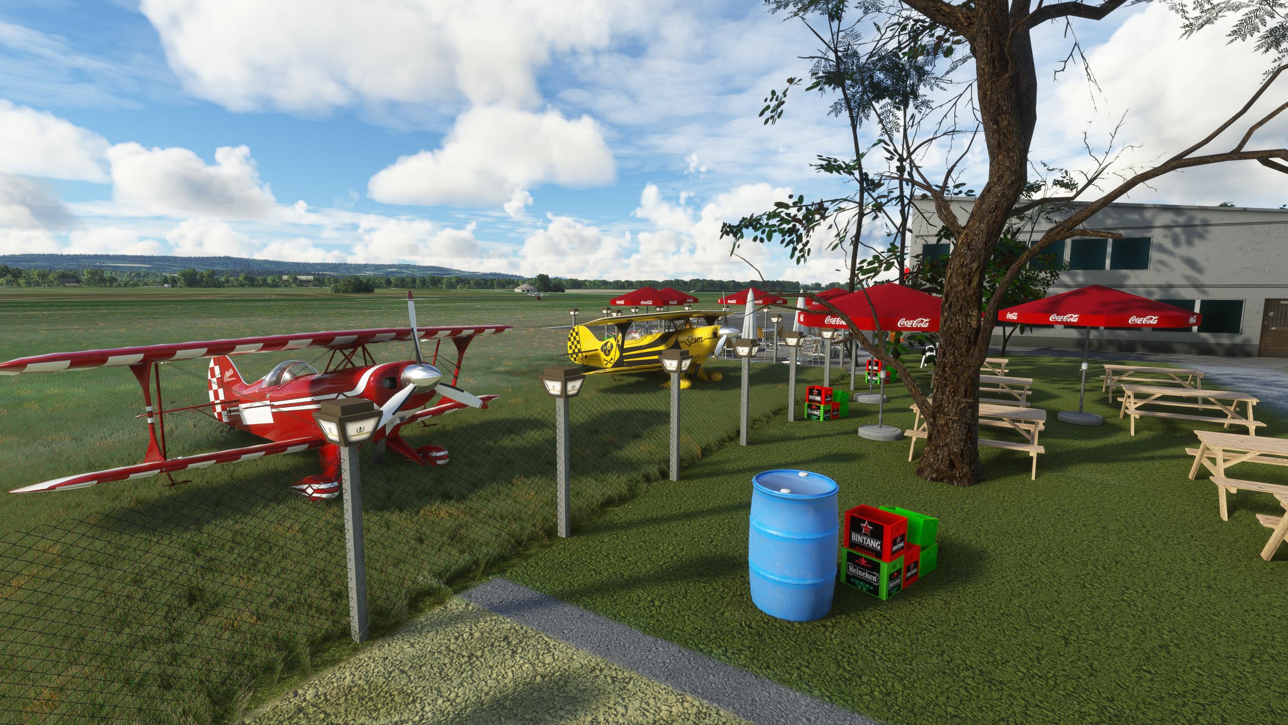
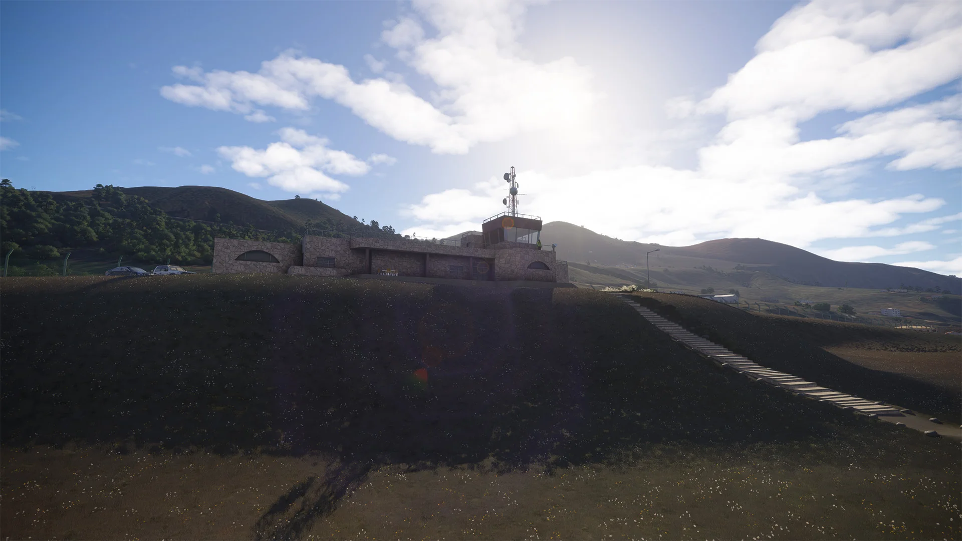
- Special details around the airport
- 3D people, living atmosphere
- Accurate Ground and Traffic Signs
- 2024 compatible
Original: $16.60
-65%$16.60
$5.81More Images


GCHI - El Hierro Airport MSFS20/24
The Most Realistic and Up-To Date Scenery of El Hierro for MSFS
The El Hierro Airport (IATA code: VDE, ICAO code: GCHI) is a small regional airport located near Valverde, the capital of El Hierro Island, in the Canary Islands, Spain. It lies about 9 km (5.6 mi) northeast of the island’s main town and serves as the principal air gateway to this remote volcanic island in the Atlantic Ocean.
Surrounded by steep cliffs and exposed to strong Atlantic winds, El Hierro Airport presents a unique challenge for pilots, requiring precise approach and landing techniques. These conditions make the airport well known among aviators for its demanding yet scenic operations.
El Hierro Airport primarily handles domestic flights, most of which are operated by Binter Canarias, linking the island with Tenerife and Gran Canaria. It is also used for medical evacuation flights, pilot training, and occasional charter services. Known for its dramatic approach over the rugged coastline, the airport plays a vital role in the island’s economy and tourism, offering a lifeline connection to the smallest and least populated of the Canary Islands.
- 3D Buildings created with details
- Terminal interior
- 8K PBR textures
- 2025 layout
- Precise terraforming and slope
- Special details around the airport
- 3D people, living atmosphere
- Accurate Ground and Traffic Signs
- 2024 compatible
Product Information
Product Information
Shipping & Returns
Shipping & Returns
Description
The Most Realistic and Up-To Date Scenery of El Hierro for MSFS
The El Hierro Airport (IATA code: VDE, ICAO code: GCHI) is a small regional airport located near Valverde, the capital of El Hierro Island, in the Canary Islands, Spain. It lies about 9 km (5.6 mi) northeast of the island’s main town and serves as the principal air gateway to this remote volcanic island in the Atlantic Ocean.
Surrounded by steep cliffs and exposed to strong Atlantic winds, El Hierro Airport presents a unique challenge for pilots, requiring precise approach and landing techniques. These conditions make the airport well known among aviators for its demanding yet scenic operations.
El Hierro Airport primarily handles domestic flights, most of which are operated by Binter Canarias, linking the island with Tenerife and Gran Canaria. It is also used for medical evacuation flights, pilot training, and occasional charter services. Known for its dramatic approach over the rugged coastline, the airport plays a vital role in the island’s economy and tourism, offering a lifeline connection to the smallest and least populated of the Canary Islands.
- 3D Buildings created with details
- Terminal interior
- 8K PBR textures
- 2025 layout
- Precise terraforming and slope
- Special details around the airport
- 3D people, living atmosphere
- Accurate Ground and Traffic Signs
- 2024 compatible