Cedar Mountain MSFS
A BLM airstrip located in Emery County, Utah.
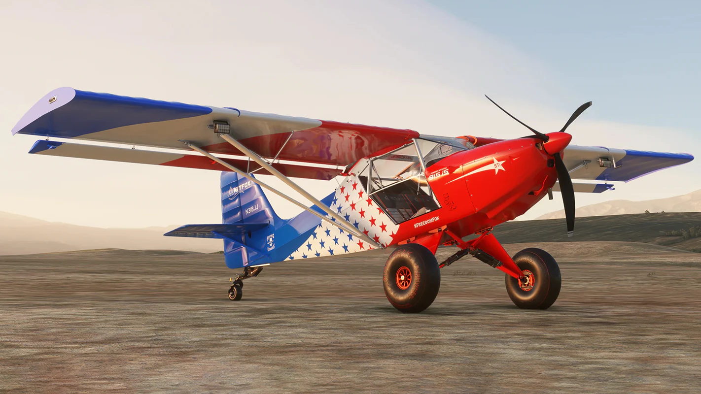
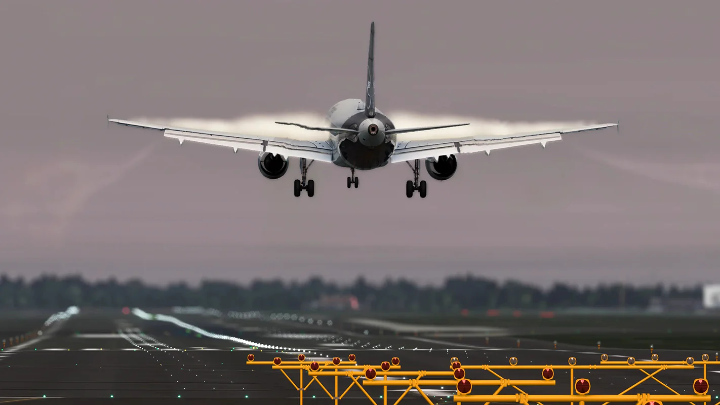
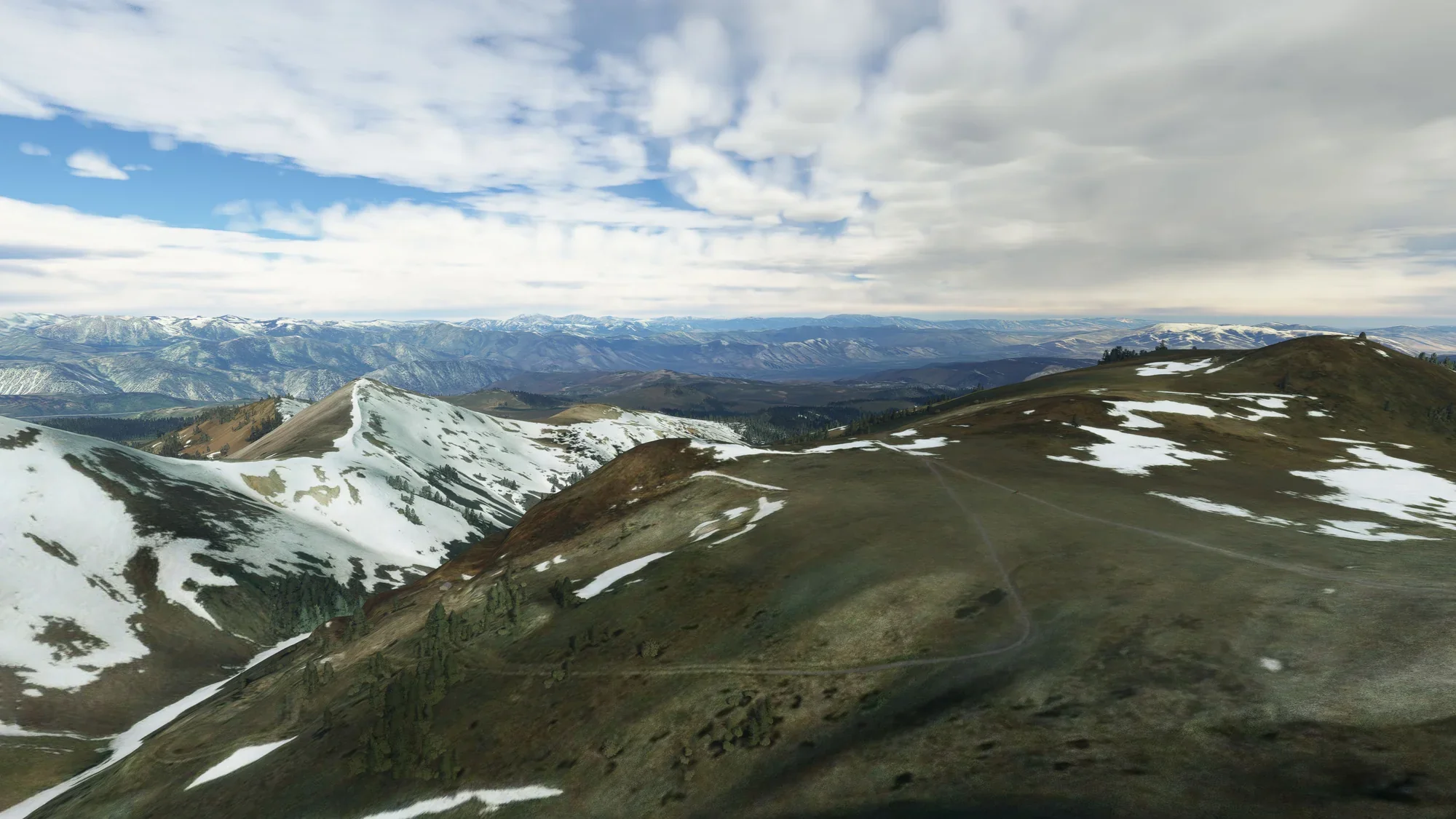
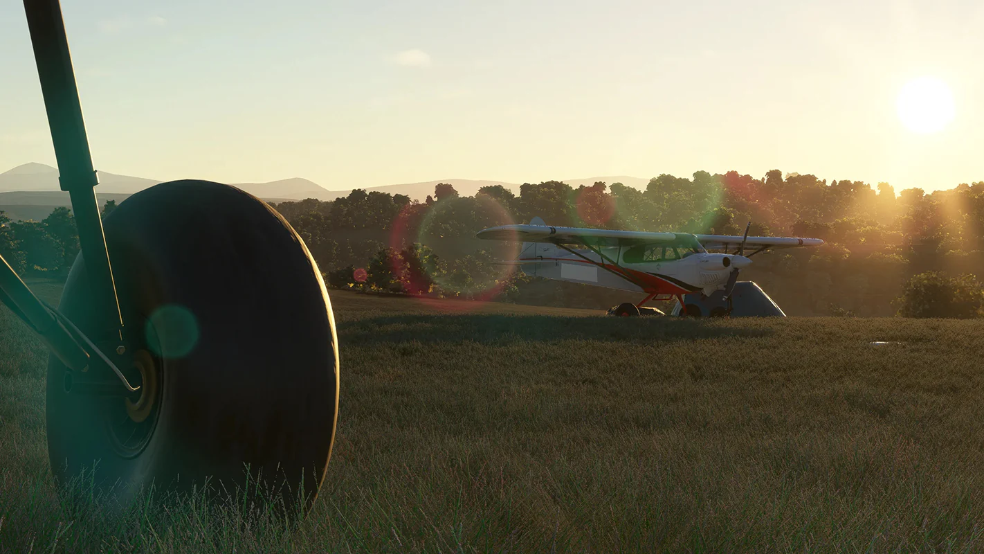
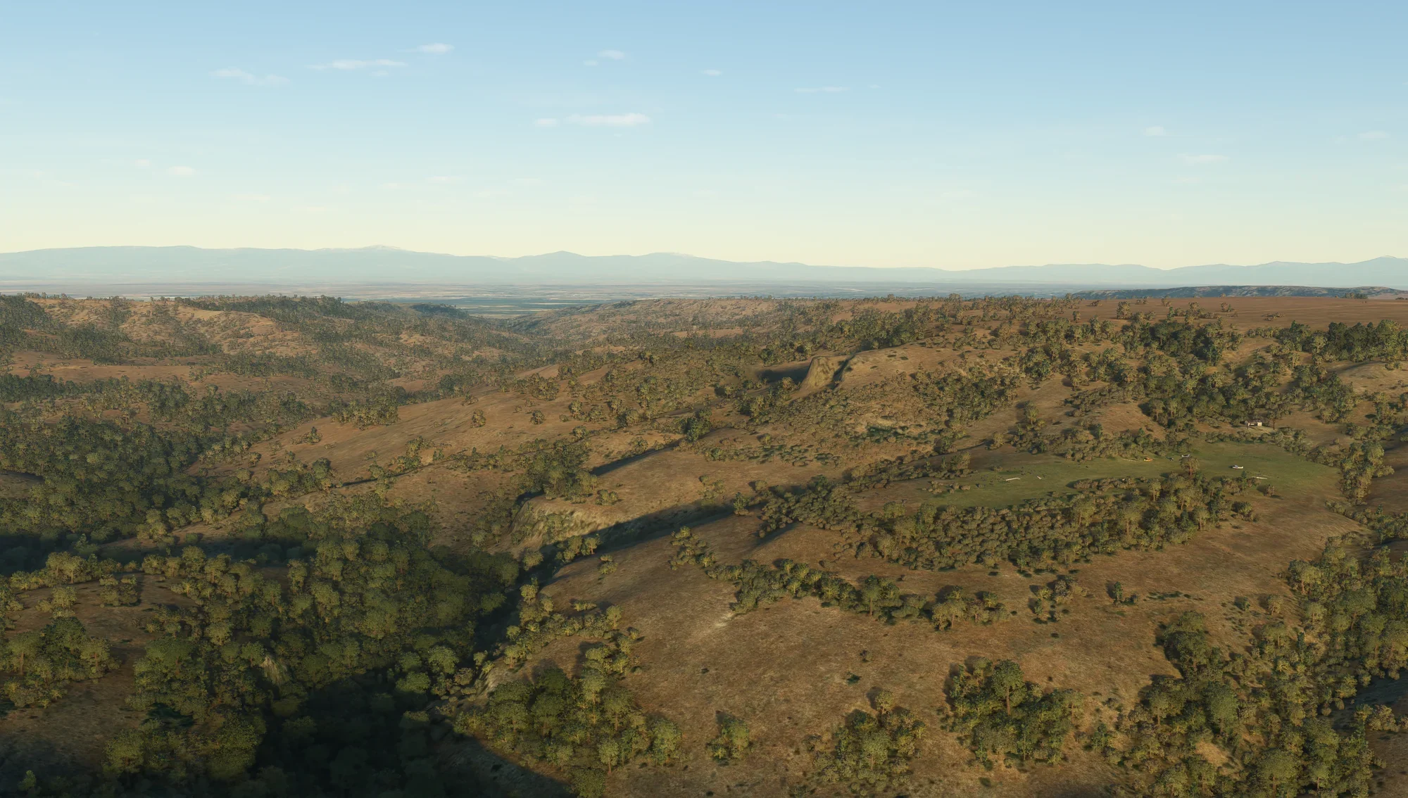
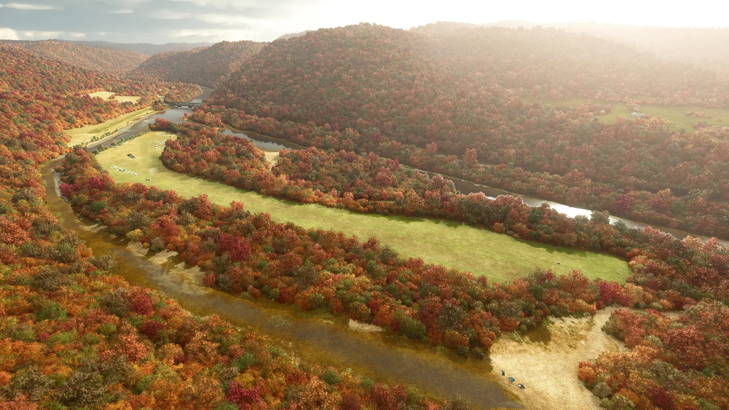
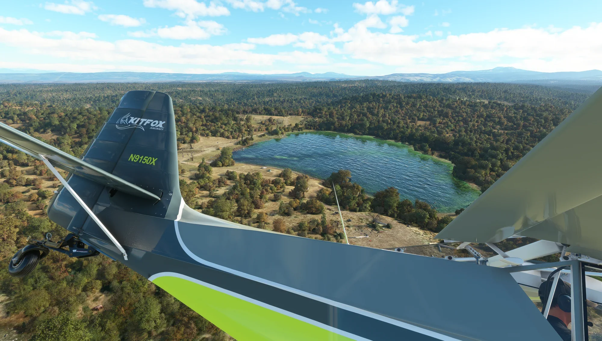
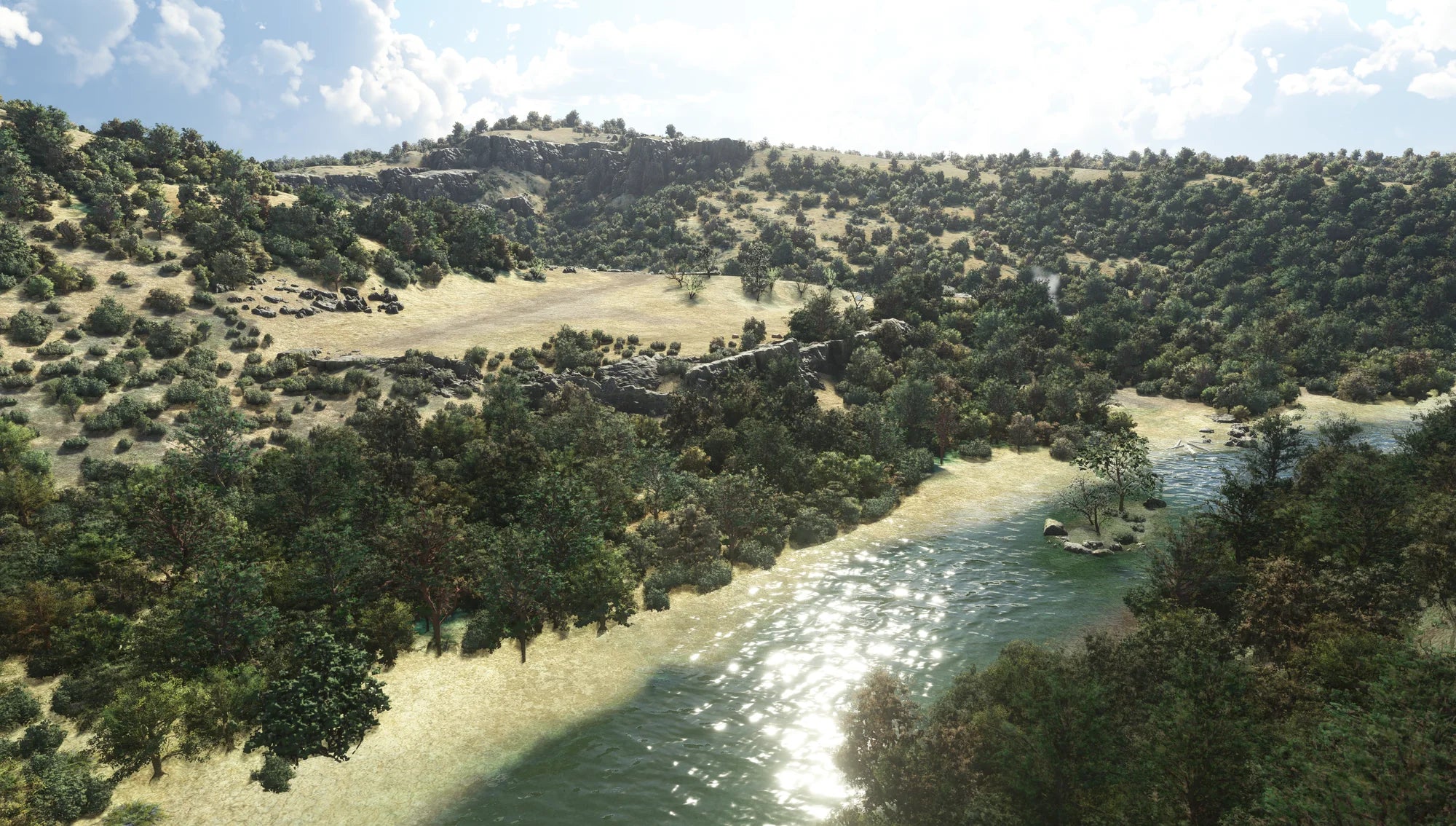
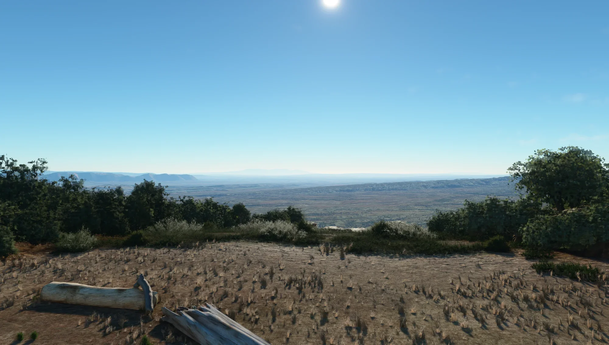
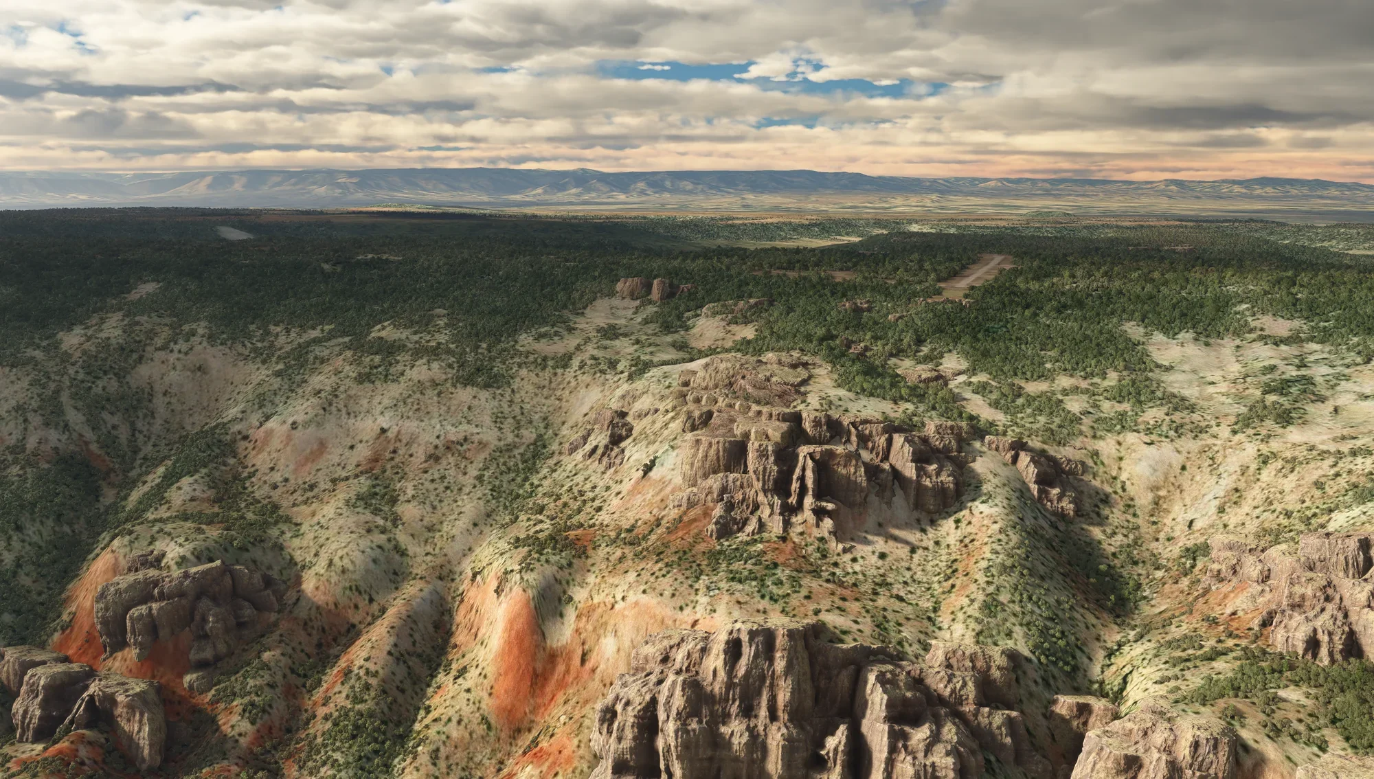
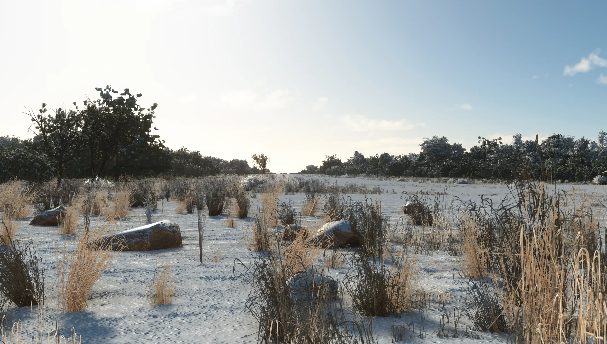
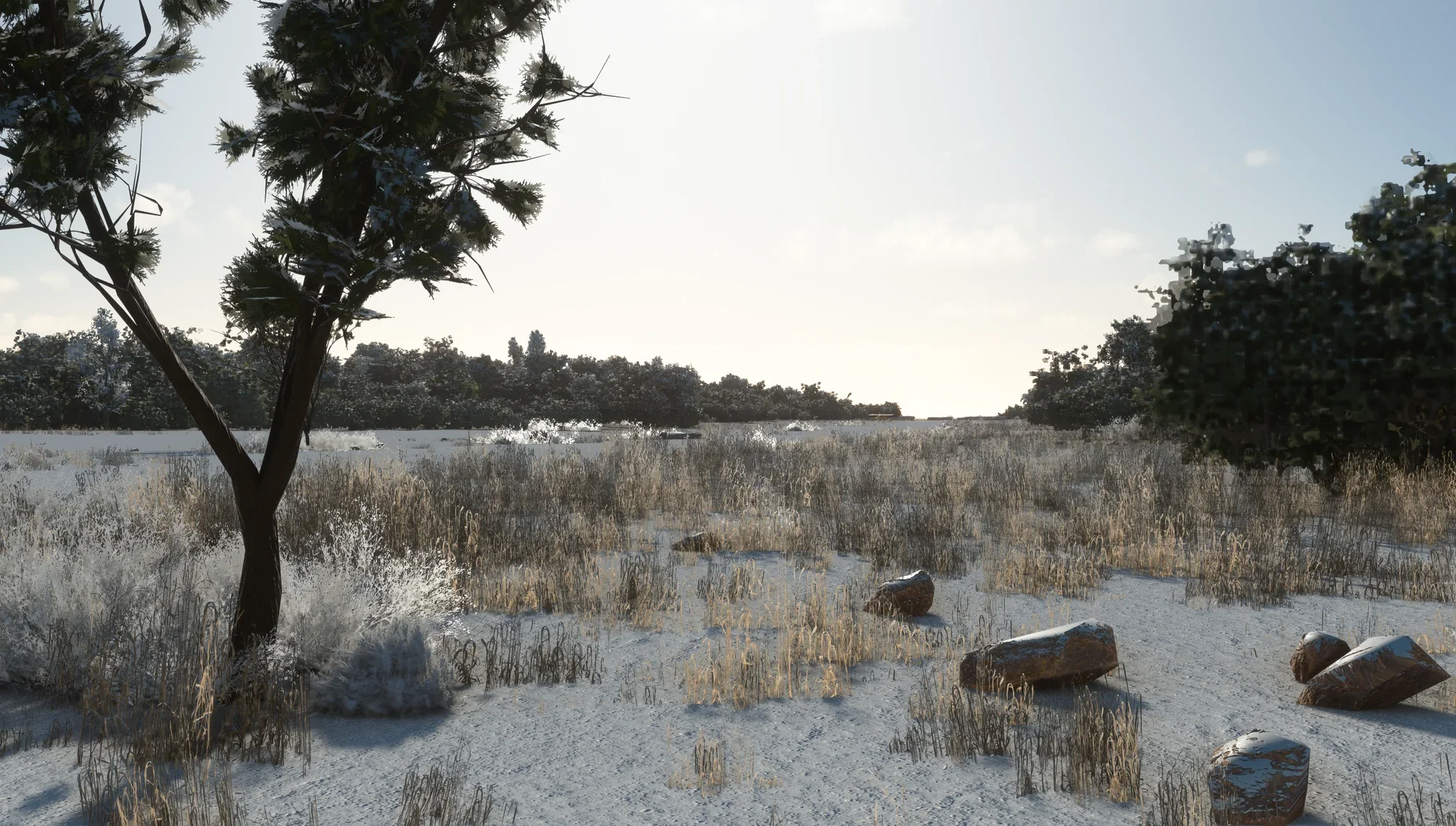
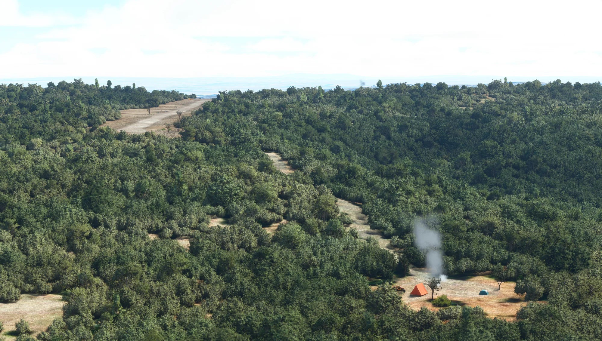
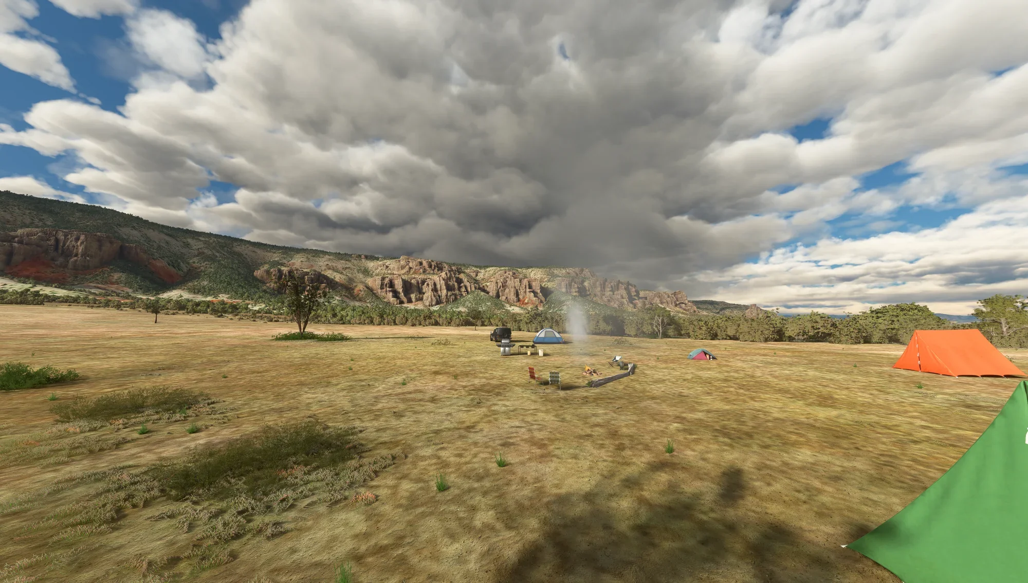
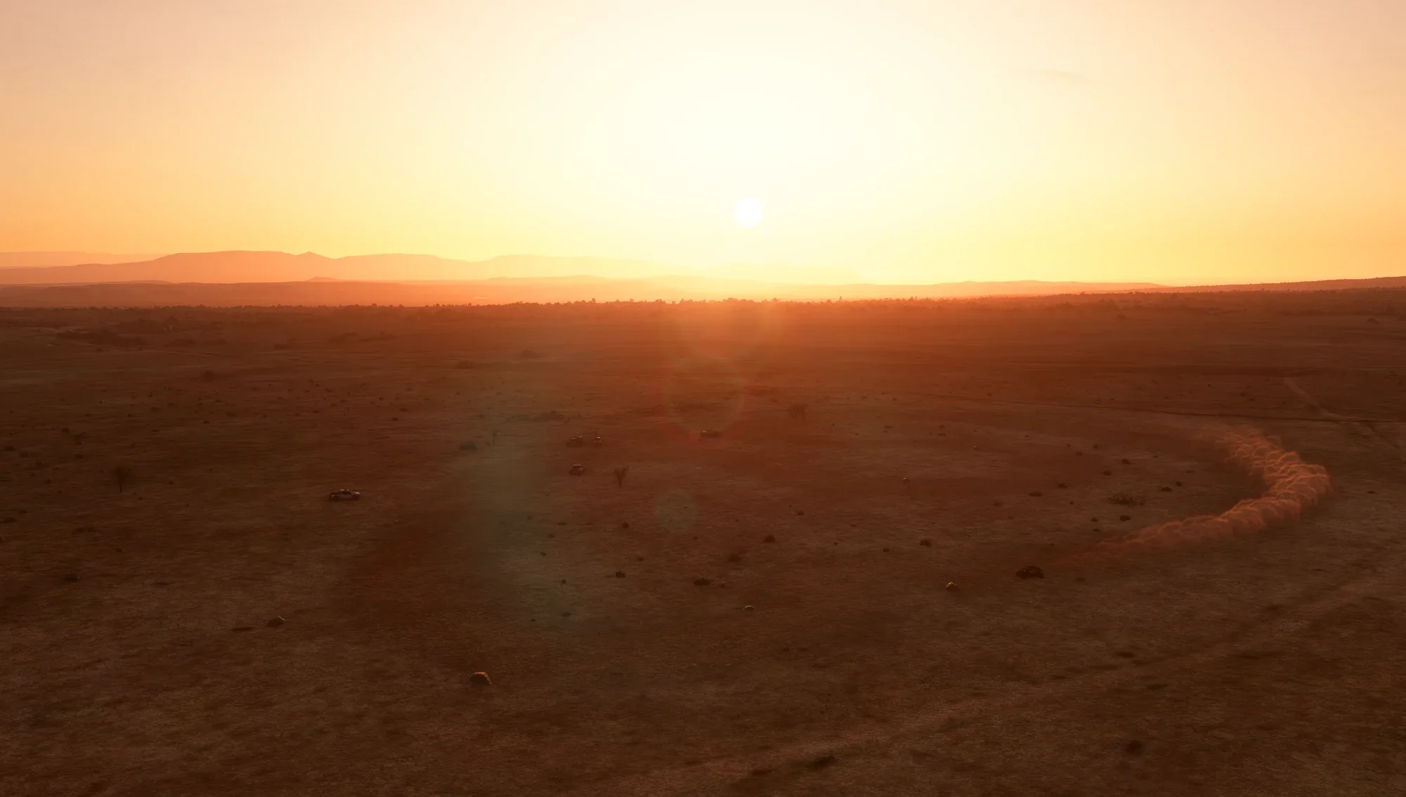
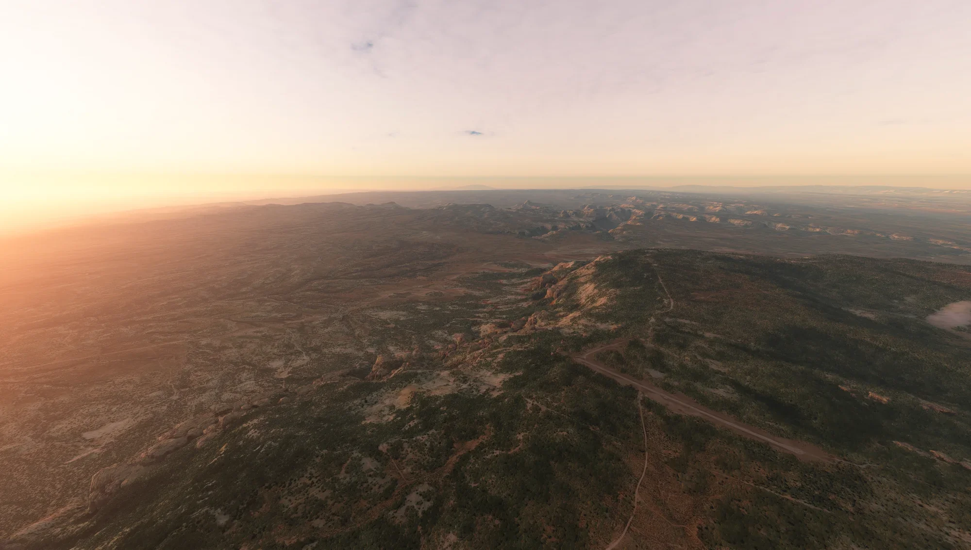
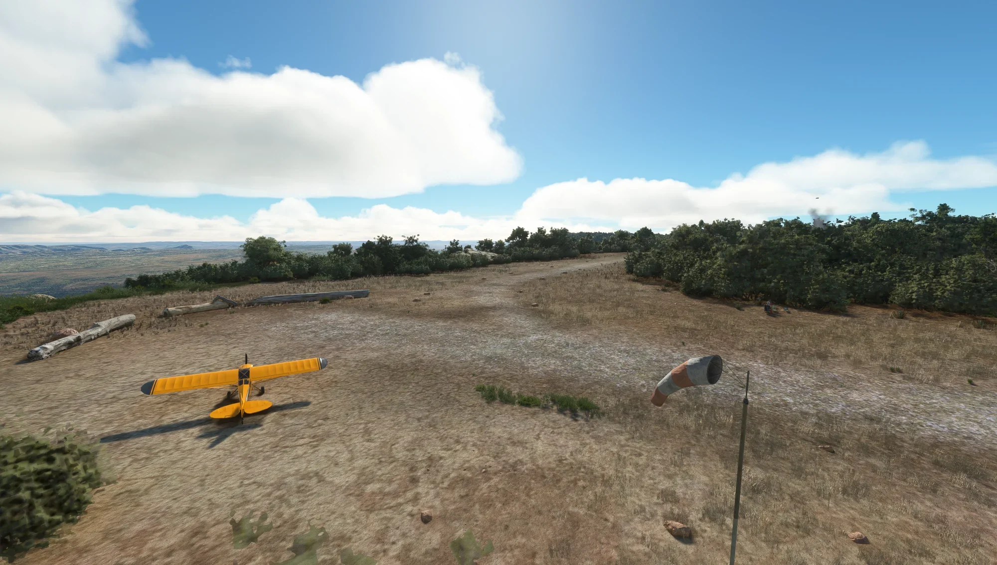
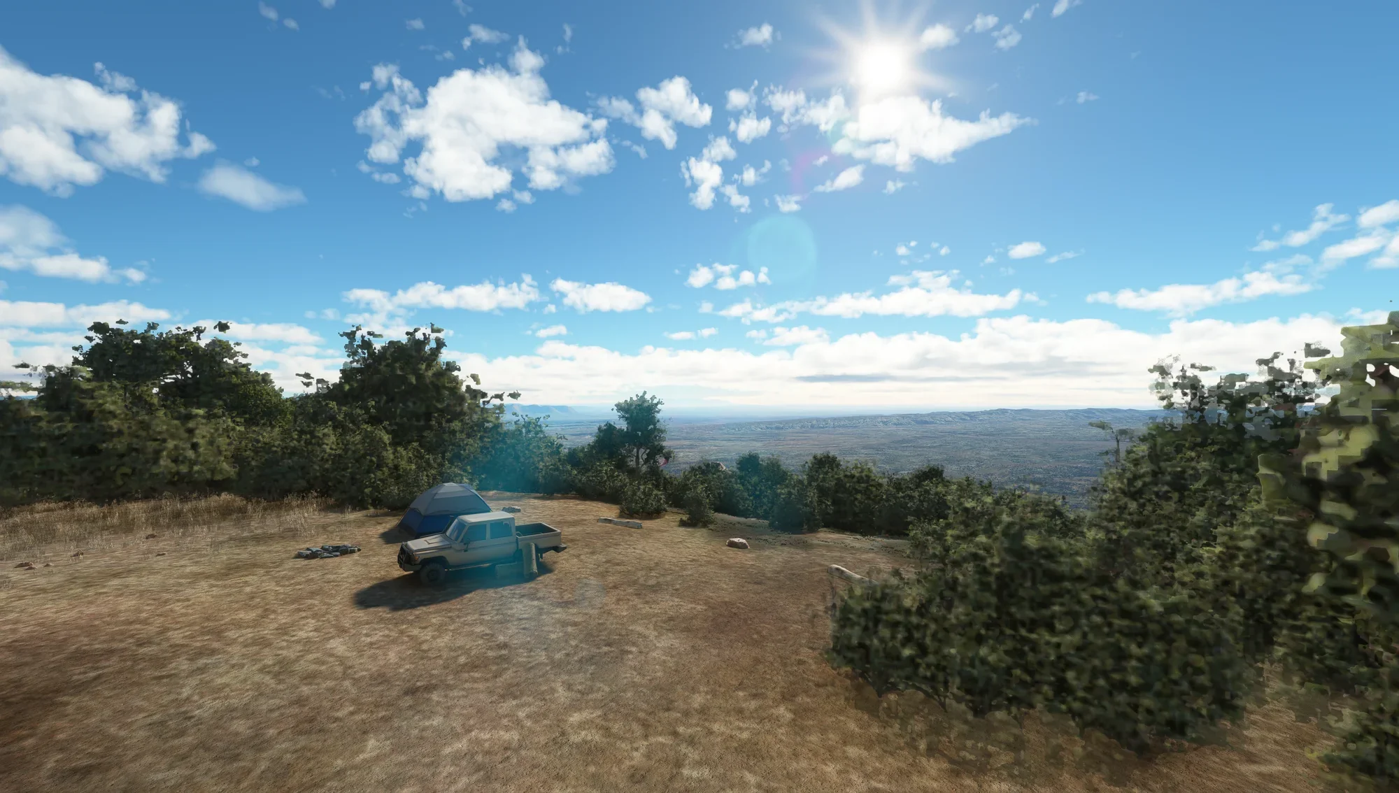
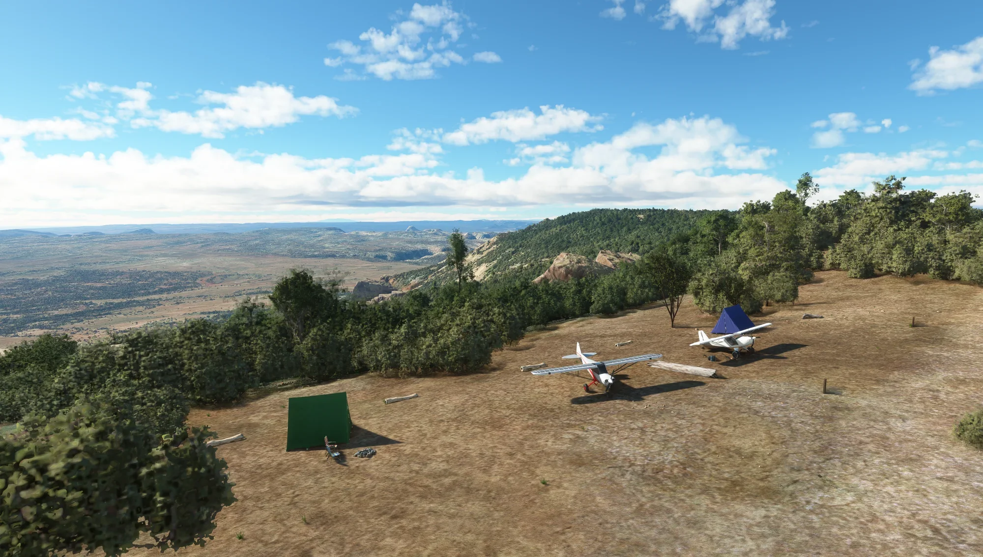
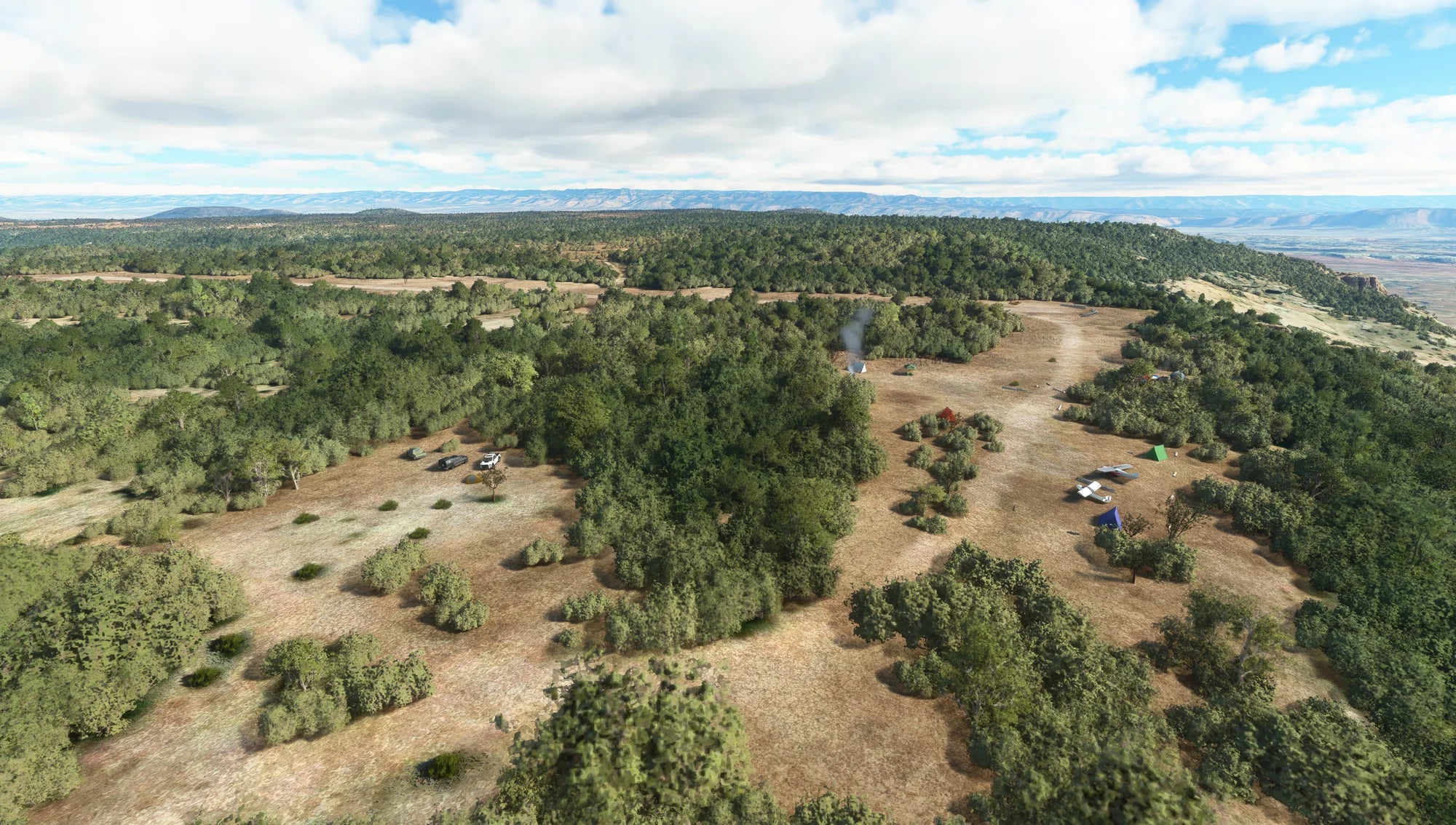
Located in Cedar City, Utah, about 15 miles from 42MX Mexican Mountain, this destination is on a plot of BLM land frequented by backcountry pilots. Cedar Mountain is a decent-sized airstrip that can accept non-STOL GA aircraft. The strip rests at 7538ft atop the similarly named Cedar Mountain and has a terrifying 1500ft vertical drop at the South end. This site provides panoramic views of the Wasatch Plateau and the La Sal Mountains. Altitude is a factor, so plan your aircraft and arrival accordingly.
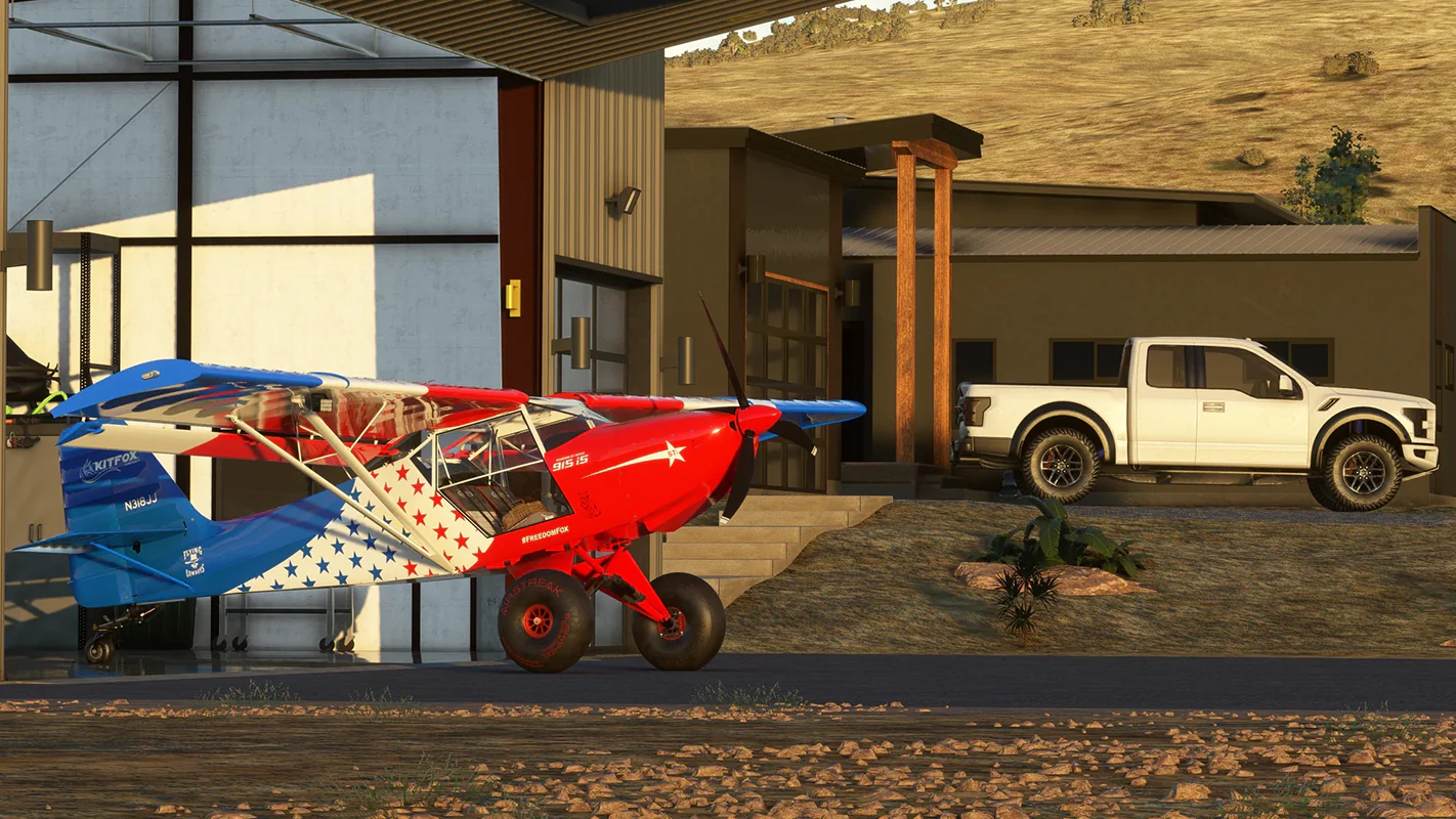
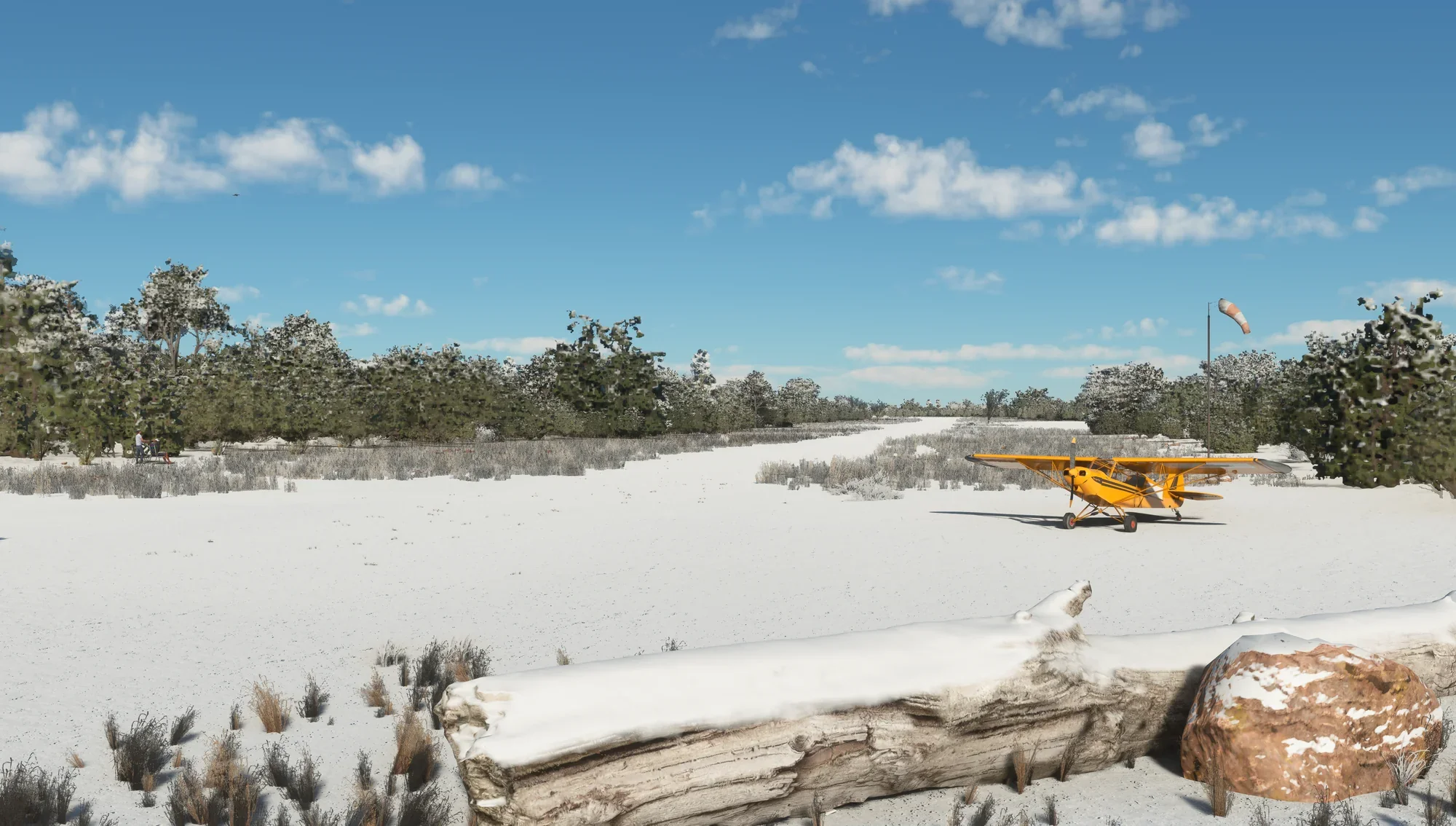
- Runway: ~2000 feet long x 40 feet wide, well-maintained gravel and dirt.
- Approach Considerations: Recommend inspection pass. Land slightly uphill to the South, wind permitting. The southern end of the runway ends with a terrifying 1,500 feet vertical drop.
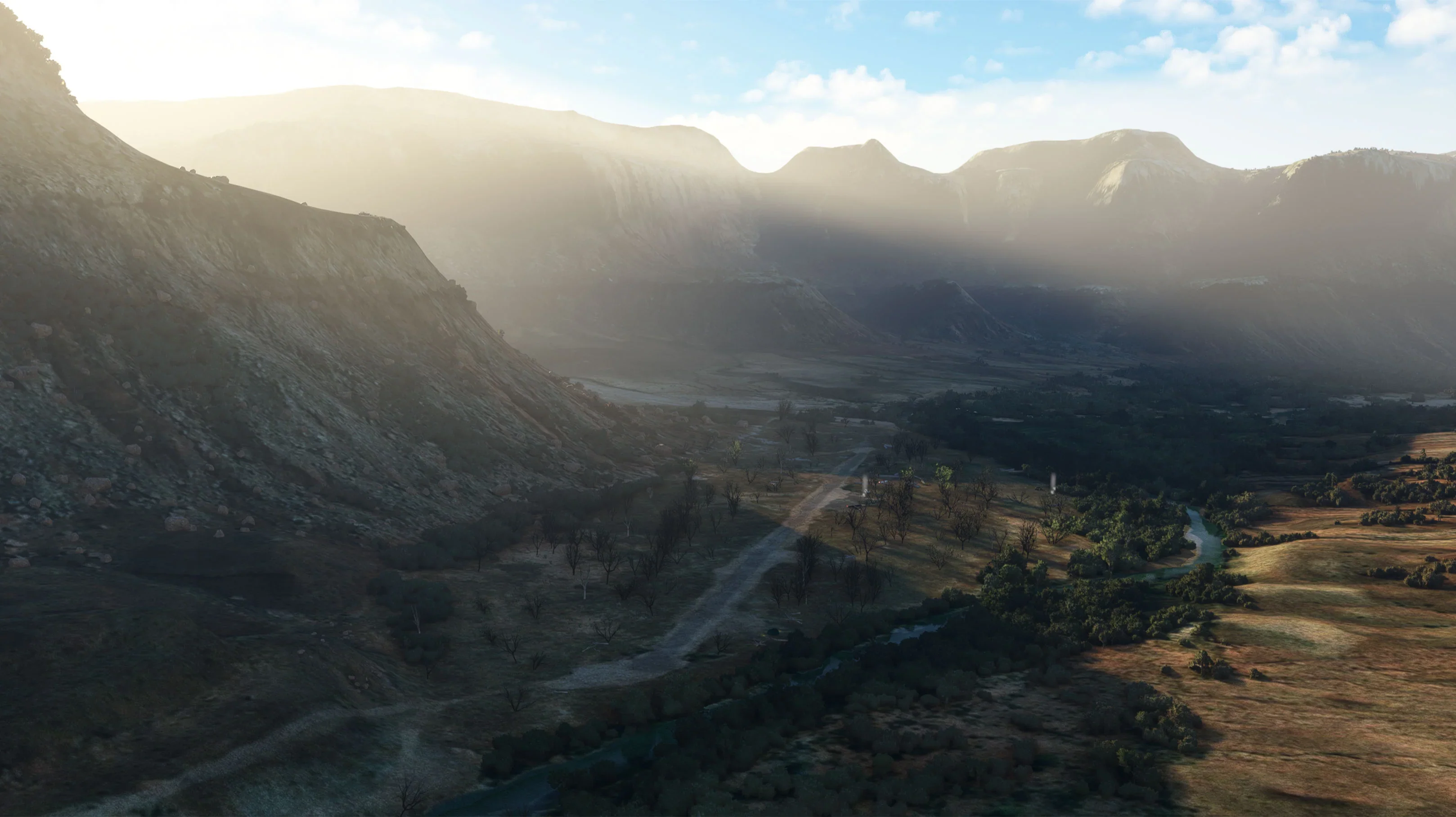
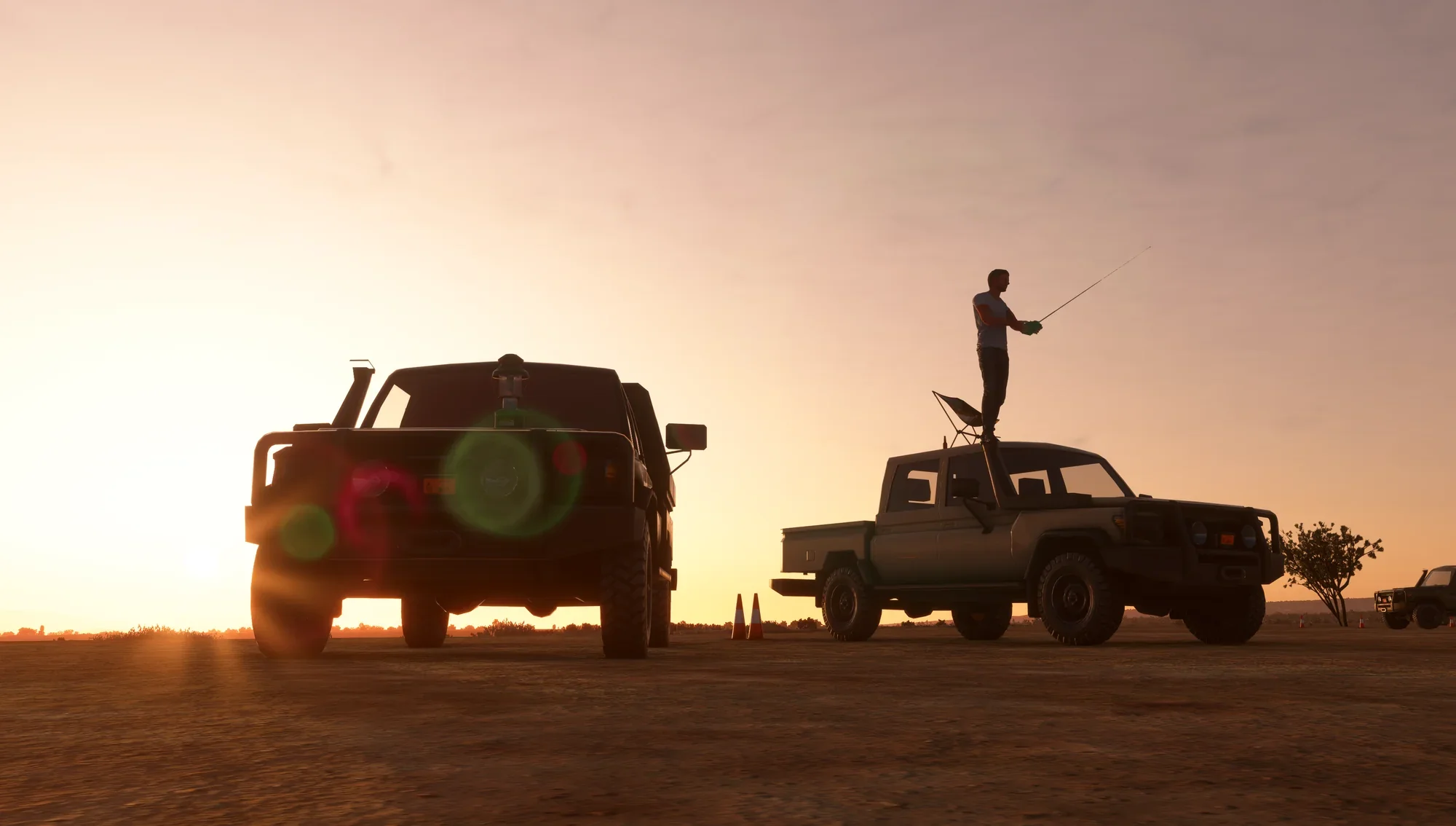
- Amenities: Campgrounds with great views.
- Windsock: Yes
- Parking: Plenty
- Services: no restrooms, no water, no weather info, no lights, no cell phone service, and no fuel.
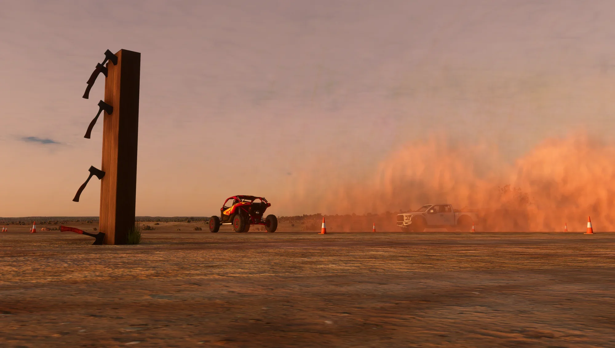
- Visually enhanced cliff faces in proximity to the airstrip
- Multiple runway objects and hazards contain collision boxes.
- Challenging high altitude approach onto sloped & narrow dirt runway.
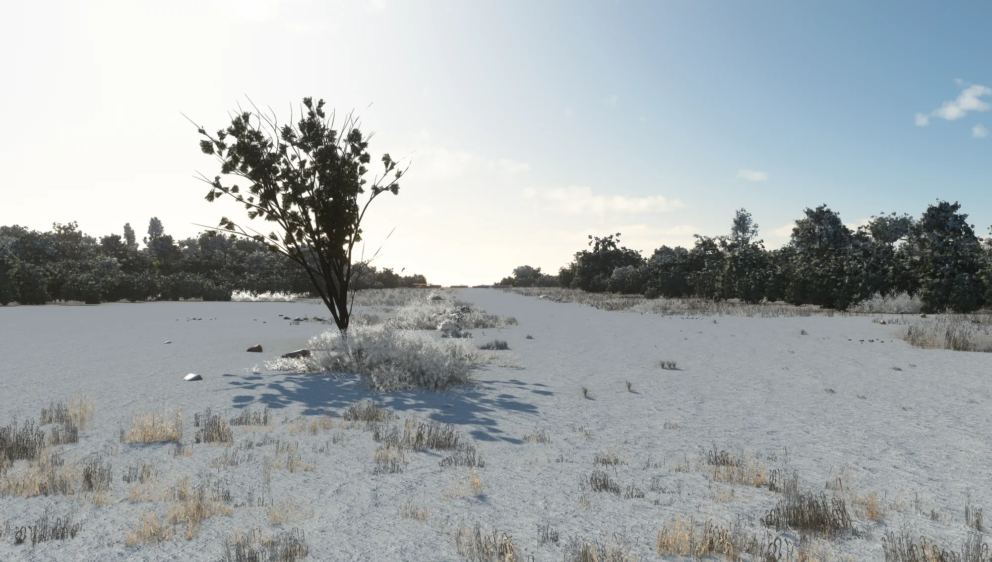
- Custom vegetation assets.
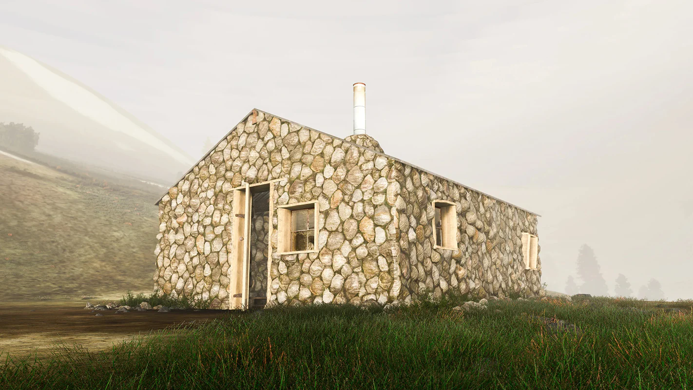
- Custom 3D library of on-ground assets
- Custom stone fire rings sized specifically for //42 Campout Utility campfires.
- Custom terraforming for a better representation of dangerous terrain.
- Other mini-camps in the region, scout for them!
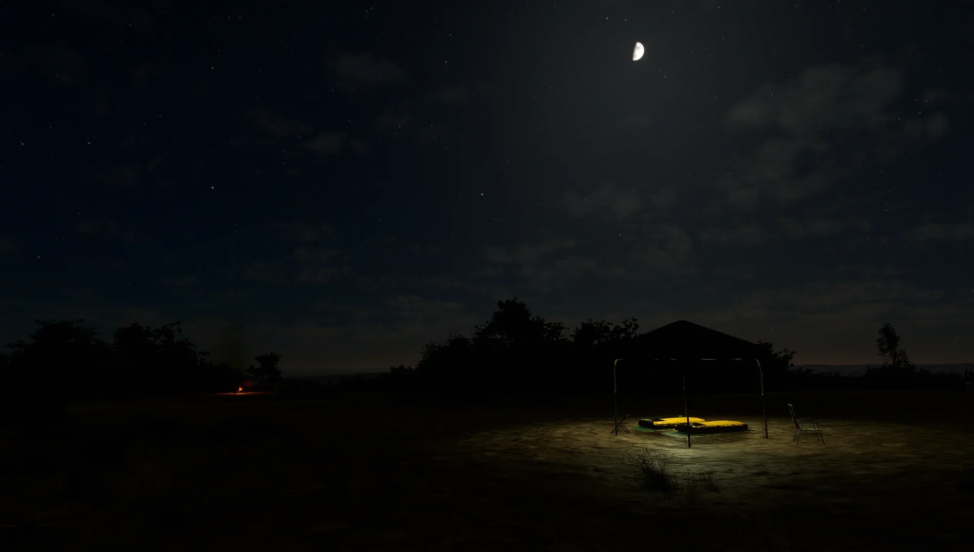
- Custom night lighting in the camp area.
- Custom Soundscape includes a fire pit and flying drone
- Fully animated drone mini-scene.
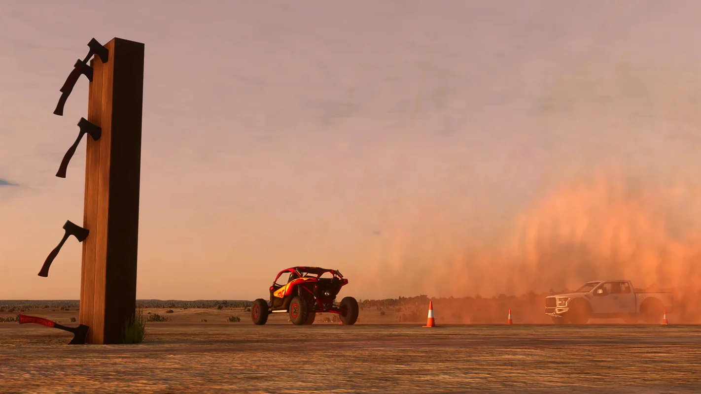
- Fully animated and night-lit UTV Track mini-scene in the area.
- Heatblur effects on fire pits
- Perfectly located for MOAB/Utah Backcountry bush trip adventures.
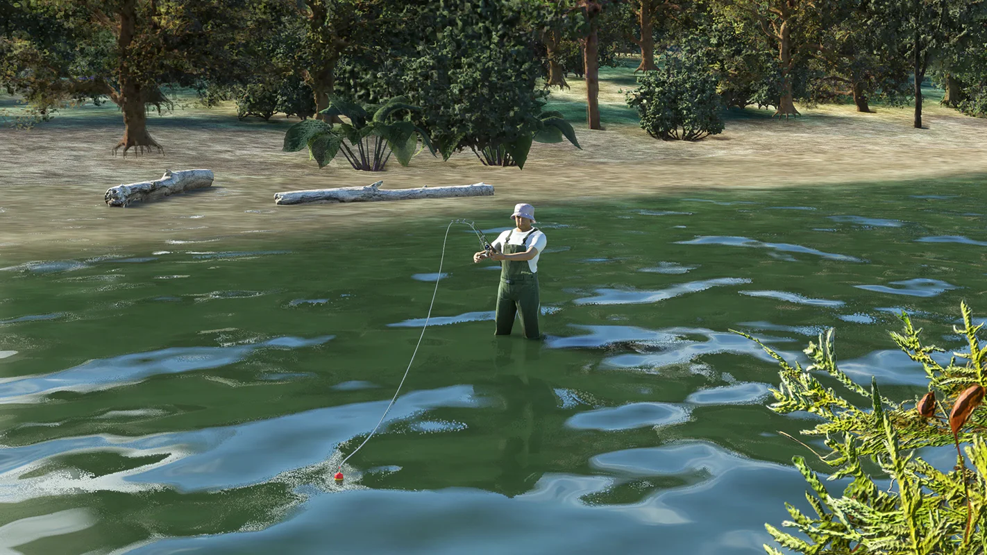
- Please don't leave food out; a bear was reported in the area.
- Pineapple on pizza is not permitted on-site
More Images


Cedar Mountain MSFS
A BLM airstrip located in Emery County, Utah.
Located in Cedar City, Utah, about 15 miles from 42MX Mexican Mountain, this destination is on a plot of BLM land frequented by backcountry pilots. Cedar Mountain is a decent-sized airstrip that can accept non-STOL GA aircraft. The strip rests at 7538ft atop the similarly named Cedar Mountain and has a terrifying 1500ft vertical drop at the South end. This site provides panoramic views of the Wasatch Plateau and the La Sal Mountains. Altitude is a factor, so plan your aircraft and arrival accordingly.
- Runway: ~2000 feet long x 40 feet wide, well-maintained gravel and dirt.
- Approach Considerations: Recommend inspection pass. Land slightly uphill to the South, wind permitting. The southern end of the runway ends with a terrifying 1,500 feet vertical drop.
- Amenities: Campgrounds with great views.
- Windsock: Yes
- Parking: Plenty
- Services: no restrooms, no water, no weather info, no lights, no cell phone service, and no fuel.
- Visually enhanced cliff faces in proximity to the airstrip
- Multiple runway objects and hazards contain collision boxes.
- Challenging high altitude approach onto sloped & narrow dirt runway.
- Custom vegetation assets.
- Custom 3D library of on-ground assets
- Custom stone fire rings sized specifically for //42 Campout Utility campfires.
- Custom terraforming for a better representation of dangerous terrain.
- Other mini-camps in the region, scout for them!
- Custom night lighting in the camp area.
- Custom Soundscape includes a fire pit and flying drone
- Fully animated drone mini-scene.
- Fully animated and night-lit UTV Track mini-scene in the area.
- Heatblur effects on fire pits
- Perfectly located for MOAB/Utah Backcountry bush trip adventures.
- Please don't leave food out; a bear was reported in the area.
- Pineapple on pizza is not permitted on-site
Product Information
Product Information
Shipping & Returns
Shipping & Returns
Description
A BLM airstrip located in Emery County, Utah.
Located in Cedar City, Utah, about 15 miles from 42MX Mexican Mountain, this destination is on a plot of BLM land frequented by backcountry pilots. Cedar Mountain is a decent-sized airstrip that can accept non-STOL GA aircraft. The strip rests at 7538ft atop the similarly named Cedar Mountain and has a terrifying 1500ft vertical drop at the South end. This site provides panoramic views of the Wasatch Plateau and the La Sal Mountains. Altitude is a factor, so plan your aircraft and arrival accordingly.
- Runway: ~2000 feet long x 40 feet wide, well-maintained gravel and dirt.
- Approach Considerations: Recommend inspection pass. Land slightly uphill to the South, wind permitting. The southern end of the runway ends with a terrifying 1,500 feet vertical drop.
- Amenities: Campgrounds with great views.
- Windsock: Yes
- Parking: Plenty
- Services: no restrooms, no water, no weather info, no lights, no cell phone service, and no fuel.
- Visually enhanced cliff faces in proximity to the airstrip
- Multiple runway objects and hazards contain collision boxes.
- Challenging high altitude approach onto sloped & narrow dirt runway.
- Custom vegetation assets.
- Custom 3D library of on-ground assets
- Custom stone fire rings sized specifically for //42 Campout Utility campfires.
- Custom terraforming for a better representation of dangerous terrain.
- Other mini-camps in the region, scout for them!
- Custom night lighting in the camp area.
- Custom Soundscape includes a fire pit and flying drone
- Fully animated drone mini-scene.
- Fully animated and night-lit UTV Track mini-scene in the area.
- Heatblur effects on fire pits
- Perfectly located for MOAB/Utah Backcountry bush trip adventures.
- Please don't leave food out; a bear was reported in the area.
- Pineapple on pizza is not permitted on-site